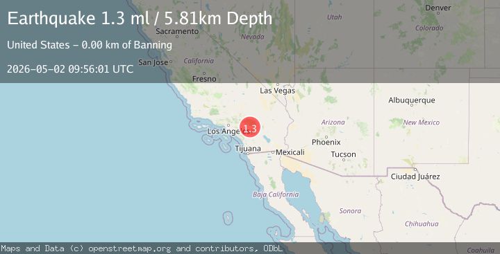
Earthquake 3 km NW of Banning, CA
Sat, 02 May 2026 09:56:01 GMT
Time7 hours ago
Location
33.9462, -116.8940
Depth
5.8 KM
Event Summary
A 1.3 magnitude earthquake struck on 3 km NW of Banning, CA, at Sat, 02 May 2026 09:56:01 GMT. Depth: 5.80999994277954km. Reviewed by USGS seismologists, this minor quake occurred at a magnitude type of ml.
Magnitude
1.3
ml
Source
USGS
Intensity
-
Agency Reports
1 Sources| Source | Magnitude | Depth | Time |
|---|---|---|---|
| USGSPrimary | 1.3 | 6 km | 7 hours ago |
Earthquake Details
AutomaticEvent IDusgs_ci41239431
QualityS
Tsunami PotentialNo
Magnitude Typeml
Last Update7 hours ago
Used Stations62
Felt Reports0
Did you feel this earthquake? Report it to help others.
No reports yet
Be the first to report this earthquake!
Latest Earthquakes
Loading...
Nearby Earthquakes
1.6Mag
5 km E of Desert Hot Springs, CA
Time9 hours ago
Depth1.49 km
SourceUSGS (Automatic)
1.2Mag
6 km SSW of Redlands, CA
Time10 hours ago
Depth4.06 km
SourceUSGS (Automatic)
2.0Mag
7 km SSW of Redlands, CA
Time10 hours ago
Depth3.33 km
SourceUSGS (Automatic)
0.5Mag
11 km NE of Julian, CA
Time11 hours ago
Depth8.48 km
SourceUSGS (Automatic)
1.1Mag
15 km NW of Morongo Valley, CA
Time11 hours ago
Depth7.17 km
SourceUSGS (Automatic)