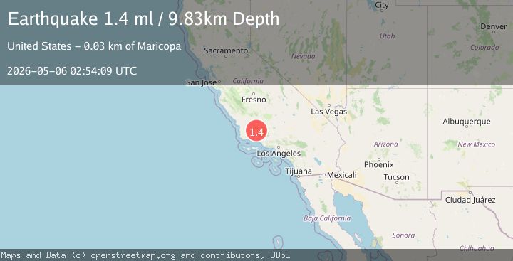
Earthquake 26 km SW of Maricopa, CA
Wed, 06 May 2026 02:54:09 GMT
Time2 days ago
Location
34.9018, -119.6150
Depth
9.8 KM
Event Summary
A 1.4 magnitude earthquake struck on 26 km SW of Maricopa, CA, at Wed, 06 May 2026 02:54:09 GMT. Depth: 9.82999992370605km. Reviewed by USGS seismologists, this minor quake occurred at a magnitude type of ml.
Magnitude
1.4
ml
Source
USGS
Intensity
-
Agency Reports
1 Sources| Source | Magnitude | Depth | Time |
|---|---|---|---|
| USGSPrimary | 1.4 | 10 km | 2 days ago |
Earthquake Details
AutomaticEvent IDusgs_ci41242095
QualityS
Tsunami PotentialNo
Magnitude Typeml
Last Update2 days ago
Used Stations26
Felt Reports0
Did you feel this earthquake? Report it to help others.
No reports yet
Be the first to report this earthquake!
Latest Earthquakes
Loading...
Nearby Earthquakes
1.5Mag
12 km E of Carpinteria, CA
Time1 day ago
Depth6.28 km
SourceUSGS (Automatic)
1.3Mag
4 km E of Piru, CA
Time3 days ago
Depth7.11 km
SourceUSGS (Automatic)
2.2Mag
GREATER LOS ANGELES AREA, CALIF.
Time3 days ago
Depth9.20 km
SourceSCSN (Automatic)
1.6Mag
5 km N of Fillmore, CA
Time4 days ago
Depth8.72 km
SourceUSGS (Automatic)
3.3Mag
CENTRAL CALIFORNIA
Time5 days ago
Depth8.10 km
SourceSCSN (Automatic)