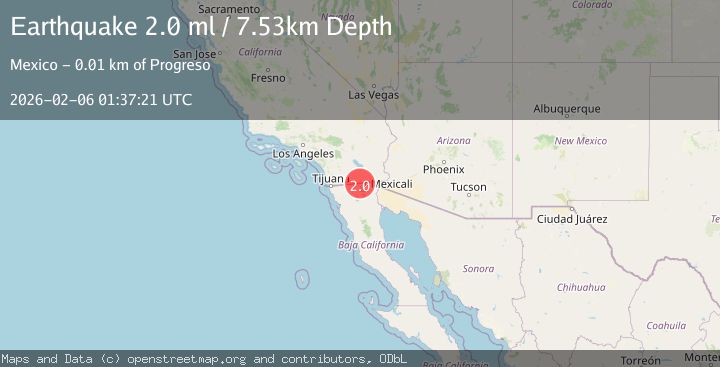
Earthquake 15 km WNW of Progreso, B.C., MX
Fri, 06 Feb 2026 01:37:21 GMT
Time1 hour ago
Location
32.6223, -115.7307
Depth
7.5 KM
Event Summary
A 2.0 magnitude earthquake struck on 15 km WNW of Progreso, B.C., MX, at Fri, 06 Feb 2026 01:37:21 GMT. Depth: 7.53km. Reviewed by USGS seismologists, this minor quake occurred at a magnitude type of ml.
Magnitude
2.0
ml
Source
USGS
Intensity
-
Agency Reports
1 Sources| Source | Magnitude | Depth | Time |
|---|---|---|---|
| USGSPrimary | 2.0 | 8 km | 1 hour ago |
Earthquake Details
AutomaticEvent IDusgs_ci41392600
Tsunami PotentialNo
Magnitude Typeml
Nearest Places
- Cerro El Centinela2.0 km
- El Centinela4.5 km
- El Oasis5.2 km
- Canal Once D Central6.1 km
- Magaña6.1 km
Comments
Join the discussion about this event.
Latest Earthquakes
1.8Mag
17 km W of Petrolia, CA
Time21 minutes ago
Depth10.32 km
SourceUSGS (Automatic)
2.4Mag
ALBANIA
Time24 minutes ago
Depth15.00 km
SourceIGEO (Automatic)
1.9Mag
19 km NNW of Fishhook, Alaska
Time25 minutes ago
Depth5.00 km
SourceUSGS (Automatic)
4.6Mag
KURIL ISLANDS
Time32 minutes ago
Depth39.90 km
SourceNEIC (Automatic)
5.1Mag
TARAPACA, CHILE
Time33 minutes ago
Depth22.00 km
SourceEMSC (Automatic)
Nearby Earthquakes
1.1Mag
6 km W of Imperial, CA
Time1 day ago
Depth11.69 km
SourceUSGS (Automatic)
1.3Mag
8 km WSW of Holtville, CA
Time1 week ago
Depth7.17 km
SourceUSGS (Automatic)
1.4Mag
7 km SW of Holtville, CA
Time1 week ago
Depth12.18 km
SourceUSGS (Automatic)
1.5Mag
6 km W of Holtville, CA
Time1 week ago
Depth8.56 km
SourceUSGS (Automatic)
1.6Mag
9 km WNW of Holtville, CA
Time1 week ago
Depth9.30 km
SourceUSGS (Automatic)