Earthquake 17 km WNW of Tehachapi, CA
Tue, 10 Feb 2026 09:00:07 GMT
Time1 week ago
Location
35.1960, -118.6233
Depth
7.6 KM
Event Summary
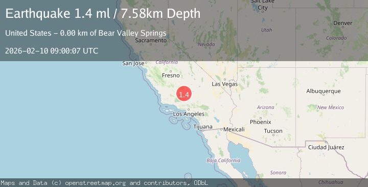
A 1.4 magnitude earthquake struck on 17 km WNW of Tehachapi, CA, at Tue, 10 Feb 2026 09:00:07 GMT. Depth: 7.57999992370605km. Reviewed by USGS seismologists, this minor quake occurred at a magnitude type of ml.
Magnitude
1.4
ml
Source
USGS
Intensity
-
Agency Reports
1 Sources| Source | Magnitude | Depth | Time |
|---|---|---|---|
| USGSPrimary | 1.4 | 8 km | 1 week ago |
Earthquake Details
AutomaticEvent IDusgs_ci41394912
Tsunami PotentialNo
Magnitude Typeml
Nearest Places
- Bear Mountain1.7 km
- Kern County Fire Department Station 16 - Bear Valley3.8 km
- Bear Valley Springs4.1 km
- Keller Valley4.3 km
- Bear Valley5.0 km
Comments
Join the discussion about this event.
Latest Earthquakes
1.6Mag
Kenai Peninsula, Alaska
Time4 minutes ago
Depth42.60 km
SourceVYT (Automatic)
2.4Mag
Finland
Time6 minutes ago
Depth301.88 km
SourceVYT (Automatic)
1.2Mag
Alaska Peninsula
Time7 minutes ago
Depth0.12 km
SourceVYT (Automatic)
4.1Mag
NEAR COAST OF NORTHERN PERU
Time12 minutes ago
Depth35.00 km
SourceLIM (Automatic)
3.1Mag
DODECANESE IS.-TURKEY BORDER REG
Time13 minutes ago
Depth4.10 km
SourceKOERI (Automatic)
Nearby Earthquakes
3.0Mag
CENTRAL CALIFORNIA
Time2 years ago
Depth5.00 km
SourceNEIC (Automatic)
1.7Mag
20 km ENE of Arvin, CA
Time3 weeks ago
Depth5.64 km
SourceUSGS (Automatic)
1.9Mag
19 km NW of Tehachapi, CA
Time3 weeks ago
Depth3.26 km
SourceUSGS (Automatic)
3.0Mag
CENTRAL CALIFORNIA
Time16 years ago
Depth5.00 km
SourceNEIC (Automatic)
3.0Mag
CENTRAL CALIFORNIA
Time4 years ago
Depth5.00 km
SourceNEIC (Automatic)