Earthquake 9 km S of Idyllwild, CA
Thu, 12 Feb 2026 06:53:58 GMT
Time1 week ago
Location
33.6590, -116.7228
Depth
15.6 KM
Event Summary
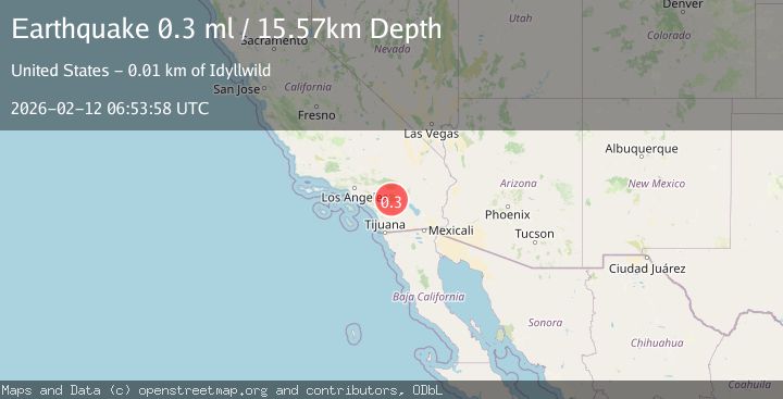
A 0.3 magnitude earthquake struck on 9 km S of Idyllwild, CA, at Thu, 12 Feb 2026 06:53:58 GMT. Depth: 15.57km. Reviewed by USGS seismologists, this minor quake occurred at a magnitude type of ml.
Magnitude
0.3
ml
Source
USGS
Intensity
-
Agency Reports
1 Sources| Source | Magnitude | Depth | Time |
|---|---|---|---|
| USGSPrimary | 0.3 | 16 km | 1 week ago |
Earthquake Details
AutomaticEvent IDusgs_ci41396256
Tsunami PotentialNo
Magnitude Typeml
Nearest Places
- Willow Valley0.6 km
- Pine Tree Spring1.2 km
- Spillway Canyon1.4 km
- Lake Hemet 817 Dam1.6 km
- Rouse Ridge1.7 km
Comments
Join the discussion about this event.
Latest Earthquakes
2.6Mag
Antofagasta, Chile
Time2 minutes ago
Depth155.15 km
SourceVYT (Automatic)
1.8Mag
western Texas
Time3 minutes ago
Depth10.50 km
SourceVYT (Automatic)
3.3Mag
CRETE, GREECE
Time4 minutes ago
Depth10.00 km
SourceNOA (Automatic)
3.3Mag
offshore Valparaiso, Chile
Time16 minutes ago
Depth36.50 km
SourceVYT (Automatic)
4.2Mag
Mediterranean Region, Turkey
Time18 minutes ago
Depth10.00 km
SourceVYT (Automatic)
Nearby Earthquakes
1.5Mag
8 km S of Idyllwild, CA
Time3 days ago
Depth14.96 km
SourceUSGS (Automatic)
0.6Mag
11 km S of Idyllwild, CA
Time2 weeks ago
Depth15.10 km
SourceUSGS (Automatic)
3.0Mag
SOUTHERN CALIFORNIA
Time1 year ago
Depth17.90 km
SourceNEIC (Automatic)
1.3Mag
8 km SSW of Idyllwild, CA
Time2 weeks ago
Depth12.66 km
SourceUSGS (Automatic)
3.0Mag
SOUTHERN CALIFORNIA
Time4 years ago
Depth10.00 km
SourceNEIC (Automatic)