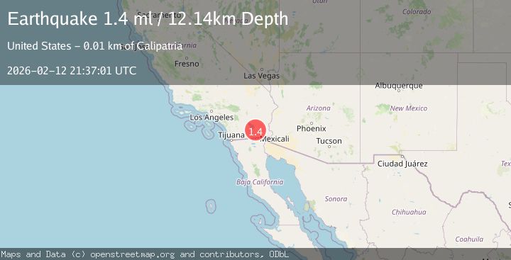
Earthquake 5 km S of Calipatria, CA
Thu, 12 Feb 2026 21:37:01 GMT
Time1 week ago
Location
33.0797, -115.5238
Depth
12.1 KM
Event Summary
A 1.4 magnitude earthquake struck on 5 km S of Calipatria, CA, at Thu, 12 Feb 2026 21:37:01 GMT. Depth: 12.1400003433228km. Reviewed by USGS seismologists, this minor quake occurred at a magnitude type of ml.
Magnitude
1.4
ml
Source
USGS
Intensity
-
Agency Reports
1 Sources| Source | Magnitude | Depth | Time |
|---|---|---|---|
| USGSPrimary | 1.4 | 12 km | 1 week ago |
Earthquake Details
AutomaticEvent IDusgs_ci41396648
Tsunami PotentialNo
Magnitude Typeml
Nearest Places
- 1.0 km
- 1.1 km
- 1.2 km
- 1.8 km
- 1.9 km
Comments
Join the discussion about this event.
Latest Earthquakes
1.2Mag
6 km SSW of Idyllwild, CA
Time2 minutes ago
Depth18.18 km
SourceUSGS (Automatic)
2.3Mag
Southern Alaska
Time5 minutes ago
Depth47.36 km
SourceVYT
2.5Mag
Poland
Time6 minutes ago
Depth1.71 km
SourceVYT (Automatic)
2.6Mag
Bali Sea
Time6 minutes ago
Depth1.34 km
SourceVYT (Automatic)
2.3Mag
Fox Islands, Aleutian Islands, Alaska
Time6 minutes ago
Depth18.55 km
SourceVYT (Automatic)
Nearby Earthquakes
2.0Mag
5 km NE of Westmorland, CA
Time2 weeks ago
Depth10.10 km
SourceUSGS (Automatic)
3.0Mag
SOUTHERN CALIFORNIA
Time5 years ago
Depth9.00 km
SourceNEIC (Automatic)
5.0Mag
SOUTHERN CALIFORNIA
Time5 years ago
Depth7.00 km
SourceNEIC (Automatic)
3.0Mag
SOUTHERN CALIFORNIA
Time5 years ago
Depth5.00 km
SourceNEIC (Automatic)
3.0Mag
SOUTHERN CALIFORNIA
Time5 years ago
Depth11.00 km
SourceNEIR (Automatic)