Earthquake 20 km SW of Ocotillo Wells, CA
Fri, 13 Feb 2026 10:27:33 GMT
Time6 days ago
Location
33.0297, -116.2935
Depth
7.5 KM
Event Summary
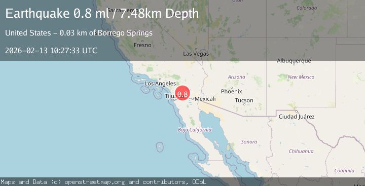
A 0.8 magnitude earthquake struck on 20 km SW of Ocotillo Wells, CA, at Fri, 13 Feb 2026 10:27:33 GMT. Depth: 7.48km. Reviewed by USGS seismologists, this minor quake occurred at a magnitude type of ml.
Magnitude
0.8
ml
Source
USGS
Intensity
-
Agency Reports
1 Sources| Source | Magnitude | Depth | Time |
|---|---|---|---|
| USGSPrimary | 0.8 | 7 km | 6 days ago |
Earthquake Details
AutomaticEvent IDusgs_ci41397080
Tsunami PotentialNo
Magnitude Typeml
Nearest Places
- Vallecito Mountains2.1 km
- Whale Peak2.1 km
- Split Rock2.6 km
- Hapaha Flat3.8 km
- Pinyon Mountains5.3 km
Comments
Join the discussion about this event.
Latest Earthquakes
2.7Mag
southern Sumatra, Indonesia
Time4 minutes ago
Depth7.08 km
SourceVYT (Automatic)
0.9Mag
Washington
Time4 minutes ago
Depth0.98 km
SourceVYT (Automatic)
2.5Mag
Tarapaca, Chile
Time7 minutes ago
Depth0.00 km
SourceVYT (Automatic)
1.1Mag
WESTERN TURKEY
Time7 minutes ago
Depth4.00 km
SourceAFAD (Automatic)
2.5Mag
West Papua Region, Indonesia
Time10 minutes ago
Depth10.00 km
SourceBMKG
Nearby Earthquakes
0.9Mag
22 km SW of Ocotillo Wells, CA
Time4 days ago
Depth9.71 km
SourceUSGS (Automatic)
1.1Mag
22 km E of Julian, CA
Time1 week ago
Depth14.39 km
SourceUSGS (Automatic)
1.6Mag
24 km ESE of Julian, CA
Time3 weeks ago
Depth9.48 km
SourceUSGS (Automatic)
1.8Mag
24 km ESE of Julian, CA
Time3 weeks ago
Depth9.76 km
SourceUSGS (Automatic)
1.2Mag
Southern California
Time4 days ago
Depth4.15 km
SourceVYT (Automatic)