Earthquake 10 km SE of Winchester, CA
Fri, 13 Feb 2026 18:05:12 GMT
Time5 days ago
Location
33.6450, -117.0078
Depth
12.1 KM
Event Summary
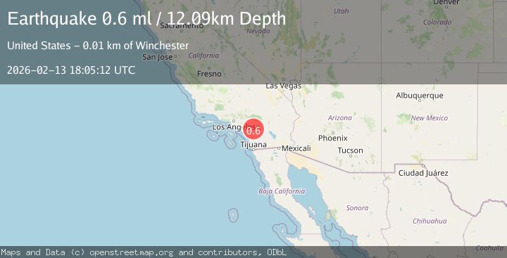
A 0.6 magnitude earthquake struck on 10 km SE of Winchester, CA, at Fri, 13 Feb 2026 18:05:12 GMT. Depth: 12.09km. Reviewed by USGS seismologists, this minor quake occurred at a magnitude type of ml.
Magnitude
0.6
ml
Source
USGS
Intensity
-
Agency Reports
1 Sources| Source | Magnitude | Depth | Time |
|---|---|---|---|
| USGSPrimary | 0.6 | 12 km | 5 days ago |
Earthquake Details
AutomaticEvent IDusgs_ci41397288
Tsunami PotentialNo
Magnitude Typeml
Nearest Places
- Crown Valley0.4 km
- Quality Inn Lake Elsinore1.8 km
- Rawson Mountains2.8 km
- Black Mountain2.9 km
- Pixley Canyon3.5 km
Comments
Join the discussion about this event.
Latest Earthquakes
1.6Mag
Southern Alaska
Time11 hours ago
Depth48.58 km
SourceVYT (Automatic)
2.3Mag
Antofagasta, Chile
Time11 hours ago
Depth82.15 km
SourceVYT (Automatic)
2.1Mag
Southern Alaska
Time11 hours ago
Depth64.21 km
SourceVYT (Automatic)
2.5Mag
Central Alaska
Time11 hours ago
Depth312.99 km
SourceVYT (Automatic)
3.6Mag
Banda Sea
Time11 hours ago
Depth0.00 km
SourceVYT (Automatic)
Nearby Earthquakes
0.8Mag
9 km SE of Winchester, CA
Time6 days ago
Depth13.04 km
SourceUSGS (Automatic)
1.8Mag
Southern California
Time4 days ago
Depth18.80 km
SourceVYT (Automatic)
2.3Mag
10 km SE of Winchester, CA
Time2 weeks ago
Depth13.06 km
SourceUSGS (Automatic)
1.6Mag
10 km SE of Winchester, CA
Time2 weeks ago
Depth12.75 km
SourceUSGS (Automatic)
0.9Mag
10 km SSW of Valle Vista, CA
Time3 weeks ago
Depth15.42 km
SourceUSGS (Automatic)