Earthquake 4 km E of Riverside, CA
Fri, 13 Feb 2026 19:31:26 GMT
Time1 week ago
Location
33.9543, -117.3490
Depth
9.4 KM
Event Summary
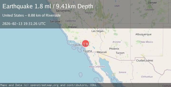
A 1.8 magnitude earthquake struck on 4 km E of Riverside, CA, at Fri, 13 Feb 2026 19:31:26 GMT. Depth: 9.40999984741211km. Reviewed by USGS seismologists, this minor quake occurred at a magnitude type of ml.
Magnitude
1.8
ml
Source
USGS
Intensity
-
Agency Reports
1 Sources| Source | Magnitude | Depth | Time |
|---|---|---|---|
| USGSPrimary | 1.8 | 9 km | 1 week ago |
Earthquake Details
AutomaticEvent IDusgs_ci41397352
Tsunami PotentialNo
Magnitude Typeml
Nearest Places
- 0.5 km
- 0.5 km
- 0.8 km
- 0.9 km
- 0.9 km
Comments
Join the discussion about this event.
Latest Earthquakes
2.7Mag
Salta, Argentina
Time2 minutes ago
Depth186.65 km
SourceVYT (Automatic)
1.6Mag
Southern Alaska
Time7 minutes ago
Depth3.54 km
SourceVYT (Automatic)
1.3Mag
Southern Alaska
Time10 minutes ago
Depth62.13 km
SourceVYT (Automatic)
1.3Mag
WESTERN TURKEY
Time12 minutes ago
Depth10.60 km
SourceAFAD (Automatic)
1.8Mag
16 km NNW of Dixon Lane-Meadow Creek, CA
Time14 minutes ago
Depth2.98 km
SourceUSGS (Automatic)
Nearby Earthquakes
1.5Mag
2 km WNW of Riverside, CA
Time2 hours ago
Depth23.34 km
SourceUSGS (Automatic)
1.6Mag
2 km NE of Grand Terrace, CA
Time3 weeks ago
Depth12.58 km
SourceUSGS (Automatic)
1.2Mag
5 km N of Moreno Valley, CA
Time1 week ago
Depth13.11 km
SourceUSGS (Automatic)
1.5Mag
1 km SW of Loma Linda, CA
Time2 weeks ago
Depth16.17 km
SourceUSGS (Automatic)
0.7Mag
3 km SSE of Loma Linda, CA
Time2 weeks ago
Depth2.82 km
SourceUSGS (Automatic)