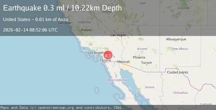
Earthquake 12 km SSE of Anza, CA
Sat, 14 Feb 2026 08:52:06 GMT
Time5 days ago
Location
33.4553, -116.6227
Depth
10.2 KM
Event Summary
A 0.3 magnitude earthquake struck on 12 km SSE of Anza, CA, at Sat, 14 Feb 2026 08:52:06 GMT. Depth: 10.22km. Reviewed by USGS seismologists, this minor quake occurred at a magnitude type of ml.
Magnitude
0.3
ml
Source
USGS
Intensity
-
Agency Reports
1 Sources| Source | Magnitude | Depth | Time |
|---|---|---|---|
| USGSPrimary | 0.3 | 10 km | 5 days ago |
Earthquake Details
AutomaticEvent IDusgs_ci41397832
Tsunami PotentialNo
Magnitude Typeml
Nearest Places
- Tule Spring2.4 km
- Lone Pine Reservoir3.5 km
- Cooper Cienega Truck Trail5.0 km
- Terwilliger Valley5.2 km
- Twin Lakes5.8 km
Comments
Join the discussion about this event.
Latest Earthquakes
1.7Mag
Central Alaska
Time6 minutes ago
Depth86.30 km
SourceVYT (Automatic)
4.6Mag
Tarapaca, Chile
Time9 minutes ago
Depth111.45 km
SourceVYT (Automatic)
2.5Mag
IONIAN SEA
Time21 minutes ago
Depth13.20 km
SourceNOA (Automatic)
2.4Mag
Tarapaca, Chile
Time22 minutes ago
Depth0.00 km
SourceVYT (Automatic)
0.8Mag
4 km NW of The Geysers, CA
Time25 minutes ago
Depth3.24 km
SourceUSGS (Automatic)
Nearby Earthquakes
1.8Mag
12 km SSE of Anza, CA
Time3 weeks ago
Depth8.58 km
SourceUSGS (Automatic)
1.1Mag
12 km SSE of Anza, CA
Time1 week ago
Depth9.30 km
SourceUSGS (Automatic)
1.5Mag
12 km SSE of Anza, CA
Time1 week ago
Depth9.54 km
SourceUSGS (Automatic)
0.6Mag
14 km SSE of Anza, CA
Time4 days ago
Depth6.77 km
SourceUSGS (Automatic)
0.6Mag
12 km SE of Anza, CA
Time2 hours ago
Depth6.49 km
SourceUSGS (Automatic)