Earthquake 10 km W of Pine Valley, CA
Sun, 15 Feb 2026 02:42:25 GMT
Time6 days ago
Location
32.8052, -116.6315
Depth
17.8 KM
Event Summary
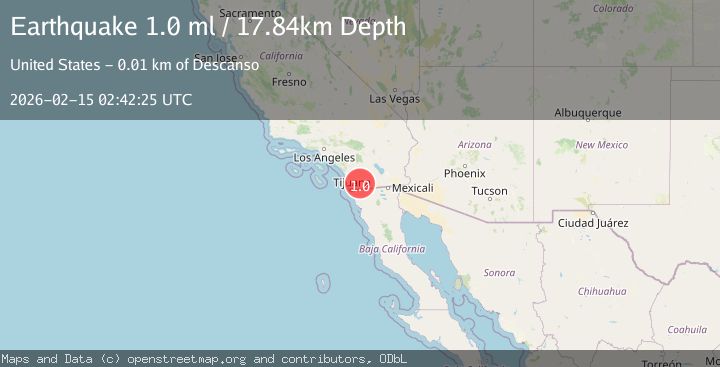
A 1.0 magnitude earthquake struck on 10 km W of Pine Valley, CA, at Sun, 15 Feb 2026 02:42:25 GMT. Depth: 17.8400001525879km. Reviewed by USGS seismologists, this minor quake occurred at a magnitude type of ml.
Magnitude
1.0
ml
Source
USGS
Intensity
-
Agency Reports
1 Sources| Source | Magnitude | Depth | Time |
|---|---|---|---|
| USGSPrimary | 1.0 | 18 km | 6 days ago |
Earthquake Details
AutomaticEvent IDusgs_ci41398272
Tsunami PotentialNo
Magnitude Typeml
Nearest Places
- 0.6 km
- 1.3 km
- 1.6 km
- 1.6 km
- 2.4 km
Comments
Join the discussion about this event.
Latest Earthquakes
1.1Mag
Central Alaska
Time5 minutes ago
Depth53.34 km
SourceVYT (Automatic)
2.3Mag
Halmahera, Indonesia
Time7 minutes ago
Depth16.35 km
SourceBMKG
1.3Mag
WESTERN TURKEY
Time13 minutes ago
Depth6.80 km
SourceAFAD (Automatic)
1.1Mag
7 km NW of The Geysers, CA
Time16 minutes ago
Depth1.89 km
SourceUSGS (Automatic)
2.3Mag
Alaska Peninsula
Time16 minutes ago
Depth0.00 km
SourceVYT (Automatic)
Nearby Earthquakes
1.4Mag
10 km W of Pine Valley, CA
Time3 weeks ago
Depth17.79 km
SourceUSGS (Automatic)
1.2Mag
10 km W of Pine Valley, CA
Time2 weeks ago
Depth17.65 km
SourceUSGS (Automatic)
0.7Mag
10 km W of Pine Valley, CA
Time1 week ago
Depth17.90 km
SourceUSGS (Automatic)
1.4Mag
10 km WSW of Pine Valley, CA
Time0 months ago
Depth18.80 km
SourceUSGS (Automatic)
1.1Mag
10 km WSW of Pine Valley, CA
Time2 hours ago
Depth17.73 km
SourceUSGS (Automatic)