Earthquake 9 km SW of Niland, CA
Mon, 16 Feb 2026 12:12:05 GMT
Time5 days ago
Location
33.1903, -115.5937
Depth
3.0 KM
Event Summary
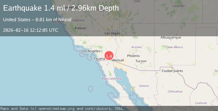
A 1.4 magnitude earthquake struck on 9 km SW of Niland, CA, at Mon, 16 Feb 2026 12:12:05 GMT. Depth: 2.96000003814697km. Reviewed by USGS seismologists, this minor quake occurred at a magnitude type of ml.
Magnitude
1.4
ml
Source
USGS
Intensity
-
Agency Reports
1 Sources| Source | Magnitude | Depth | Time |
|---|---|---|---|
| USGSPrimary | 1.4 | 3 km | 5 days ago |
Earthquake Details
AutomaticEvent IDusgs_ci41398992
Tsunami PotentialNo
Magnitude Typeml
Nearest Places
- 0.4 km
- 0.9 km
- 1.6 km
- 1.7 km
- 1.8 km
Comments
Join the discussion about this event.
Latest Earthquakes
3.4Mag
Kepulauan Aru region, Indonesia
Time22 hours ago
Depth250.73 km
SourceVYT (Automatic)
1.1Mag
8 km NW of The Geysers, CA
Time22 hours ago
Depth1.81 km
SourceUSGS (Automatic)
2.8Mag
Mendoza, Argentina
Time22 hours ago
Depth181.76 km
SourceVYT (Automatic)
2.1Mag
Minahassa Peninsula, Sulawesi
Time23 hours ago
Depth56.16 km
SourceBMKG
3.0Mag
NEAR EAST COAST OF HONSHU, JAPAN
Time23 hours ago
Depth10.00 km
SourceJMA (Automatic)
Nearby Earthquakes
3.0Mag
SOUTHERN CALIFORNIA
Time2 years ago
Depth3.00 km
SourceNEIR (Automatic)
3.0Mag
SOUTHERN CALIFORNIA
Time6 years ago
Depth10.00 km
SourceNEIC (Automatic)
2.9Mag
Southern California
Time5 days ago
Depth26.86 km
SourceVYT (Automatic)
4.0Mag
SOUTHERN CALIFORNIA
Time5 years ago
Depth10.00 km
SourceNEIC (Automatic)
3.0Mag
SOUTHERN CALIFORNIA
Time2 years ago
Depth10.00 km
SourceNEIC (Automatic)