Earthquake 1 km WNW of Glendale, CA
Tue, 24 Feb 2026 12:38:29 GMT
Time7 hours ago
Location
34.1743, -118.2647
Depth
3.8 KM
Event Summary
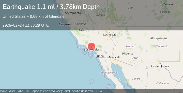
A 1.1 magnitude earthquake struck on 1 km WNW of Glendale, CA, at Tue, 24 Feb 2026 12:38:29 GMT. Depth: 3.77999997138977km. Reviewed by USGS seismologists, this minor quake occurred at a magnitude type of ml.
Magnitude
1.1
ml
Source
USGS
Intensity
-
Agency Reports
1 Sources| Source | Magnitude | Depth | Time |
|---|---|---|---|
| USGSPrimary | 1.1 | 4 km | 7 hours ago |
Earthquake Details
AutomaticEvent IDusgs_ci41402528
Tsunami PotentialNo
Magnitude Typeml
Nearest Places
- 0.1 km
- 0.4 km
- 0.5 km
- 0.5 km
- 0.8 km
Comments
Join the discussion about this event.
Latest Earthquakes
3.3Mag
Fox Islands, Aleutian Islands, Alaska
Time7 hours ago
Depth0.00 km
SourceVYT (Automatic)
1.4Mag
57 km S of Whites City, New Mexico
Time7 hours ago
Depth0.00 km
SourceUSGS (Automatic)
1.0Mag
14 km ENE of Borrego Springs, CA
Time7 hours ago
Depth10.72 km
SourceUSGS (Automatic)
2.3Mag
Fox Islands, Aleutian Islands, Alaska
Time7 hours ago
Depth16.24 km
SourceVYT (Automatic)
1.4Mag
Southern Alaska
Time7 hours ago
Depth58.84 km
SourceVYT (Automatic)
Nearby Earthquakes
0.9Mag
1 km NW of Universal City, CA
Time1 week ago
Depth15.01 km
SourceUSGS (Automatic)
2.5Mag
Greater Los Angeles area, California
Time6 days ago
Depth135.74 km
SourceVYT (Automatic)
1.3Mag
2 km ENE of Studio City, CA
Time3 days ago
Depth15.57 km
SourceUSGS (Automatic)
3.0Mag
GREATER LOS ANGELES AREA, CALIF.
Time12 years ago
Depth9.00 km
SourceNEIR (Automatic)
1.3Mag
8 km NE of La Crescenta-Montrose, CA
Time1 month ago
Depth8.25 km
SourceUSGS (Automatic)