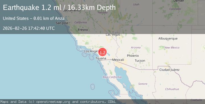
Earthquake 10 km NNW of Anza, CA
Thu, 26 Feb 2026 17:42:40 GMT
Time3 hours ago
Location
33.6315, -116.7338
Depth
16.3 KM
Event Summary
A 1.2 magnitude earthquake struck on 10 km NNW of Anza, CA, at Thu, 26 Feb 2026 17:42:40 GMT. Depth: 16.3299999237061km. Reviewed by USGS seismologists, this minor quake occurred at a magnitude type of ml.
Magnitude
1.2
ml
Source
USGS
Intensity
-
Agency Reports
1 Sources| Source | Magnitude | Depth | Time |
|---|---|---|---|
| USGSPrimary | 1.2 | 16 km | 3 hours ago |
Earthquake Details
AutomaticEvent IDusgs_ci41404448
Tsunami PotentialNo
Magnitude Typeml
Nearest Places
- 2.0 km
- 2.1 km
- 2.6 km
- 2.9 km
- 2.9 km
Comments
Join the discussion about this event.
Latest Earthquakes
2.6Mag
ISLAND OF HAWAII, HAWAII
Time3 hours ago
Depth3.50 km
SourceHV (Automatic)
0.9Mag
8 km WNW of Cobb, CA
Time3 hours ago
Depth1.60 km
SourceUSGS (Automatic)
2.3Mag
Sumba Region, Indonesia
Time3 hours ago
Depth10.00 km
SourceBMKG
2.4Mag
Antofagasta, Chile
Time3 hours ago
Depth0.00 km
SourceVYT (Automatic)
2.5Mag
Flores region, Indonesia
Time3 hours ago
Depth9.28 km
SourceVYT (Automatic)
Nearby Earthquakes
2.0Mag
Southern California
Time17 hours ago
Depth17.82 km
SourceVYT (Automatic)
0.5Mag
11 km NNW of Anza, CA
Time11 hours ago
Depth16.65 km
SourceUSGS (Automatic)
1.3Mag
11 km NNW of Anza, CA
Time11 hours ago
Depth16.54 km
SourceUSGS (Automatic)
3.0Mag
SOUTHERN CALIFORNIA
Time7 years ago
Depth14.00 km
SourceNEIR (Automatic)
1.3Mag
11 km NW of Anza, CA
Time1 month ago
Depth18.86 km
SourceUSGS (Automatic)