Earthquake 6 km WSW of Anza, CA
Fri, 27 Feb 2026 02:51:59 GMT
Time1 hour ago
Location
33.5302, -116.7345
Depth
4.8 KM
Event Summary
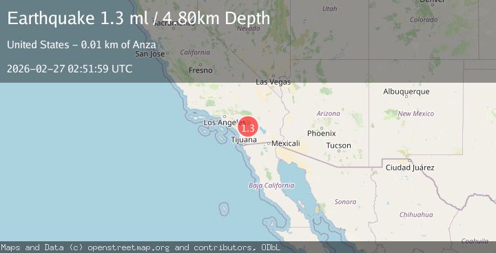
A 1.3 magnitude earthquake struck on 6 km WSW of Anza, CA, at Fri, 27 Feb 2026 02:51:59 GMT. Depth: 4.80000019073486km. Reviewed by USGS seismologists, this minor quake occurred at a magnitude type of ml.
Magnitude
1.3
ml
Source
USGS
Intensity
-
Agency Reports
1 Sources| Source | Magnitude | Depth | Time |
|---|---|---|---|
| USGSPrimary | 1.3 | 5 km | 1 hour ago |
Earthquake Details
AutomaticEvent IDusgs_ci41404928
Tsunami PotentialNo
Magnitude Typeml
Nearest Places
- 1.5 km
- 2.0 km
- 2.4 km
- 3.9 km
- 4.2 km
Comments
Join the discussion about this event.
Latest Earthquakes
2.1Mag
Antofagasta, Chile
Time7 minutes ago
Depth1.71 km
SourceVYT (Automatic)
2.2Mag
off the coast of Tarapaca, Chile
Time10 minutes ago
Depth1.71 km
SourceVYT (Automatic)
2.4Mag
Sumbawa Region, Indonesia
Time13 minutes ago
Depth10.00 km
SourceBMKG
2.0Mag
offshore Coquimbo, Chile
Time15 minutes ago
Depth61.40 km
SourceVYT (Automatic)
2.6Mag
Tarapaca, Chile
Time17 minutes ago
Depth126.46 km
SourceVYT (Automatic)
Nearby Earthquakes
1.0Mag
6 km WSW of Anza, CA
Time1 month ago
Depth4.44 km
SourceUSGS (Automatic)
1.2Mag
Southern California
Time1 week ago
Depth0.00 km
SourceVYT (Automatic)
0.6Mag
6 km WSW of Anza, CA
Time2 weeks ago
Depth3.81 km
SourceUSGS (Automatic)
0.5Mag
6 km WSW of Anza, CA
Time3 days ago
Depth2.92 km
SourceUSGS (Automatic)
0.6Mag
6 km WSW of Anza, CA
Time8 hours ago
Depth3.44 km
SourceUSGS (Automatic)