Earthquake 37 km SSE of Campo, CA
Fri, 27 Feb 2026 04:55:14 GMT
Time1 hour ago
Location
32.2765, -116.3902
Depth
14.0 KM
Event Summary
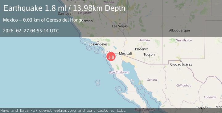
A 1.8 magnitude earthquake struck on 37 km SSE of Campo, CA, at Fri, 27 Feb 2026 04:55:14 GMT. Depth: 13.9799995422363km. Reviewed by USGS seismologists, this minor quake occurred at a magnitude type of ml.
Magnitude
1.8
ml
Source
USGS
Intensity
-
Agency Reports
1 Sources| Source | Magnitude | Depth | Time |
|---|---|---|---|
| USGSPrimary | 1.8 | 14 km | 1 hour ago |
Earthquake Details
AutomaticEvent IDusgs_ci41404960
Tsunami PotentialNo
Magnitude Typeml
Nearest Places
- 0.7 km
- 1.3 km
- 2.4 km
- 4.2 km
- 4.4 km
Comments
Join the discussion about this event.
Latest Earthquakes
2.3Mag
Tarapaca, Chile
Time4 minutes ago
Depth29.17 km
SourceVYT (Automatic)
4.5Mag
Kalimantan, Indonesia
Time7 minutes ago
Depth0.00 km
SourceVYT (Automatic)
0.7Mag
7 km NW of The Geysers, CA
Time11 minutes ago
Depth2.58 km
SourceUSGS (Automatic)
1.9Mag
Arizona
Time15 minutes ago
Depth0.00 km
SourceVYT (Automatic)
2.3Mag
Sumbawa region, Indonesia
Time17 minutes ago
Depth0.00 km
SourceVYT (Automatic)
Nearby Earthquakes
1.5Mag
38 km SSE of Campo, CA
Time2 weeks ago
Depth10.47 km
SourceUSGS (Automatic)
3.0Mag
BAJA CALIFORNIA, MEXICO
Time8 years ago
Depth12.00 km
SourceNEIR (Automatic)
3.0Mag
BAJA CALIFORNIA, MEXICO
Time7 years ago
Depth16.00 km
SourceNEIC (Automatic)
3.0Mag
BAJA CALIFORNIA, MEXICO
Time6 years ago
Depth16.00 km
SourceNEIR (Automatic)
3.1Mag
BAJA CALIFORNIA, MEXICO
Time2 weeks ago
Depth22.00 km
SourceUNM (Automatic)