Earthquake 38 km SSE of Campo, CA
Fri, 06 Feb 2026 14:36:30 GMT
Time1 hour ago
Location
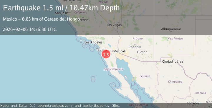
32.2758, -116.3640
Depth
10.5 KM
Event Summary
A 1.5 magnitude earthquake struck on 38 km SSE of Campo, CA, at Fri, 06 Feb 2026 14:36:30 GMT. Depth: 10.4700002670288km. Reviewed by USGS seismologists, this minor quake occurred at a magnitude type of ml.
Magnitude
1.5
ml
Source
USGS
Intensity
-
Agency Reports
1 Sources| Source | Magnitude | Depth | Time |
|---|---|---|---|
| USGSPrimary | 1.5 | 10 km | 1 hour ago |
Earthquake Details
AutomaticEvent IDusgs_ci41392816
Tsunami PotentialNo
Magnitude Typeml
Nearest Places
- Los Alisos1.8 km
- Cañón del Chapo2.1 km
- Huertita3.2 km
- Cañada El Testarazo4.0 km
- Cerro El Chapo4.2 km
Comments
Join the discussion about this event.
Latest Earthquakes
2.0Mag
10 km NNE of Ridgecrest, CA
Time6 minutes ago
Depth5.75 km
SourceUSGS (Automatic)
3.4Mag
Minahassa Peninsula, Sulawesi
Time7 minutes ago
Depth63.26 km
SourceBMKG (Automatic)
1.8Mag
77 km S of Kokhanok, Alaska
Time8 minutes ago
Depth131.90 km
SourceUSGS (Automatic)
2.9Mag
Flores Region, Indonesia
Time14 minutes ago
Depth23.03 km
SourceBMKG (Automatic)
2.1Mag
Timor Region
Time16 minutes ago
Depth27.72 km
SourceBMKG (Automatic)
Nearby Earthquakes
2.7Mag
BAJA CALIFORNIA, MEXICO
Time1 week ago
Depth7.90 km
SourceSCSN (Automatic)
1.2Mag
13 km ESE of Pine Valley, CA
Time5 days ago
Depth14.83 km
SourceUSGS (Automatic)
1.8Mag
11 km WSW of Pine Valley, CA
Time1 week ago
Depth17.51 km
SourceUSGS (Automatic)
1.1Mag
9 km WSW of Pine Valley, CA
Time1 week ago
Depth19.15 km
SourceUSGS (Automatic)
1.4Mag
9 km WSW of Pine Valley, CA
Time1 week ago
Depth-0.71 km
SourceUSGS (Automatic)