Earthquake 6 km NNE of San Dimas, CA
Fri, 27 Feb 2026 12:09:55 GMT
Time4 days ago
Location
34.1563, -117.7912
Depth
9.5 KM
Event Summary
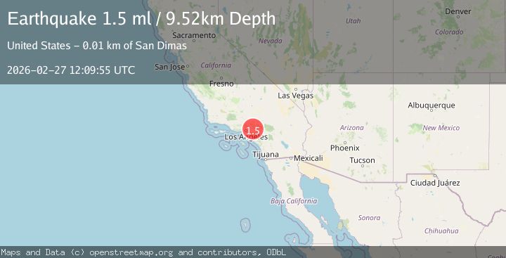
A 1.5 magnitude earthquake struck on 6 km NNE of San Dimas, CA, at Fri, 27 Feb 2026 12:09:55 GMT. Depth: 9.52000045776367km. Reviewed by USGS seismologists, this minor quake occurred at a magnitude type of ml.
Magnitude
1.5
ml
Source
USGS
Intensity
-
Agency Reports
1 Sources| Source | Magnitude | Depth | Time |
|---|---|---|---|
| USGSPrimary | 1.5 | 10 km | 4 days ago |
Earthquake Details
AutomaticEvent IDusgs_ci41405192
Tsunami PotentialNo
Magnitude Typeml
Nearest Places
- 0.8 km
- 0.8 km
- 1.6 km
- 1.7 km
- 1.8 km
Comments
Join the discussion about this event.
Latest Earthquakes
1.1Mag
Southern Alaska
Time21 hours ago
Depth93.87 km
SourceVYT (Automatic)
1.6Mag
Southern Alaska
Time21 hours ago
Depth67.99 km
SourceVYT (Automatic)
1.2Mag
NORTHERN ITALY
Time21 hours ago
Depth4.00 km
SourceETHZ (Automatic)
2.2Mag
REPUBLIC OF NORTH MACEDONIA
Time21 hours ago
Depth5.00 km
SourceEMSC (Automatic)
2.3Mag
ISLAND OF HAWAII, HAWAII
Time21 hours ago
Depth-0.60 km
SourceHV (Automatic)
Nearby Earthquakes
1.2Mag
13 km N of La Verne, CA
Time0 months ago
Depth19.41 km
SourceUSGS (Automatic)
1.8Mag
Greater Los Angeles area, California
Time1 week ago
Depth18.07 km
SourceVYT (Automatic)
2.0Mag
Southern California
Time1 week ago
Depth0.00 km
SourceVYT (Automatic)
1.4Mag
5 km NE of Bradbury, CA
Time3 weeks ago
Depth-0.53 km
SourceUSGS (Automatic)
2.1Mag
Greater Los Angeles area, California
Time2 weeks ago
Depth47.00 km
SourceVYT (Automatic)