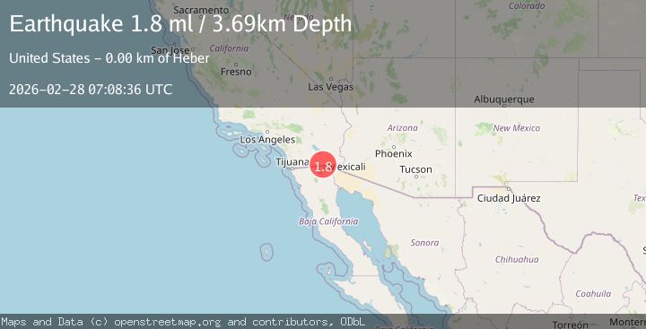
Earthquake 4 km NW of Calexico, CA
Sat, 28 Feb 2026 07:08:36 GMT
Time1 hour ago
Location
32.6977, -115.5312
Depth
3.7 KM
Event Summary
A 1.8 magnitude earthquake struck on 4 km NW of Calexico, CA, at Sat, 28 Feb 2026 07:08:36 GMT. Depth: 3.69000005722046km. Reviewed by USGS seismologists, this minor quake occurred at a magnitude type of ml.
Magnitude
1.8
ml
Source
USGS
Intensity
-
Agency Reports
1 Sources| Source | Magnitude | Depth | Time |
|---|---|---|---|
| USGSPrimary | 1.8 | 4 km | 1 hour ago |
Earthquake Details
AutomaticEvent IDusgs_ci41406184
Tsunami PotentialNo
Magnitude Typeml
Nearest Places
- 0.6 km
- 0.7 km
- 1.3 km
- 1.7 km
- 2.0 km
Comments
Join the discussion about this event.
Latest Earthquakes
2.7Mag
Minahassa Peninsula, Sulawesi
Time1 hour ago
Depth5.04 km
SourceBMKG
1.8Mag
Sulawesi, Indonesia
Time1 hour ago
Depth0.00 km
SourceVYT (Automatic)
1.5Mag
4 km W of Lake Henshaw, CA
Time1 hour ago
Depth12.41 km
SourceUSGS (Automatic)
3.0Mag
Minahassa Peninsula, Sulawesi
Time1 hour ago
Depth16.93 km
SourceBMKG
1.5Mag
53 km NE of Tonopah, Nevada
Time1 hour ago
Depth10.29 km
SourceUSGS (Automatic)
Nearby Earthquakes
3.0Mag
SOUTHERN CALIFORNIA
Time2 years ago
Depth10.00 km
SourceNEIR (Automatic)
3.0Mag
SOUTHERN CALIFORNIA
Time2 years ago
Depth10.00 km
SourceNEIC (Automatic)
3.0Mag
SOUTHERN CALIFORNIA
Time2 years ago
Depth5.00 km
SourceNEIC (Automatic)
1.8Mag
4 km ESE of Heber, CA
Time1 day ago
Depth11.29 km
SourceUSGS (Automatic)
3.0Mag
BAJA CALIFORNIA, MEXICO
Time4 years ago
Depth10.00 km
SourceEMSC (Automatic)