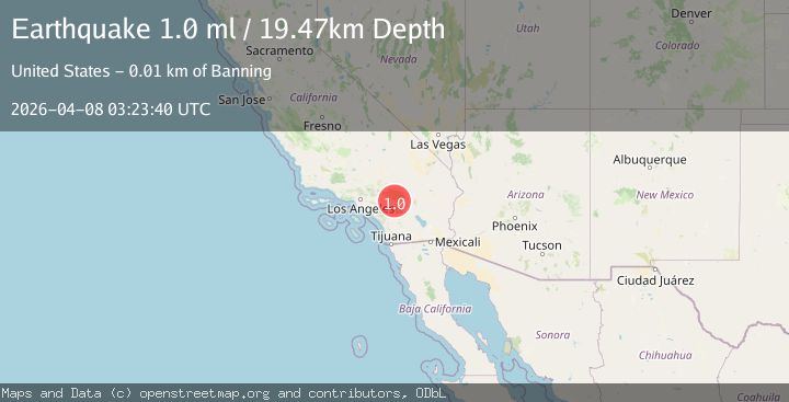
Earthquake 10 km N of Banning, CA
Wed, 08 Apr 2026 03:23:40 GMT
Time1 day ago
Location
34.0110, -116.8608
Depth
19.5 KM
Event Summary
A 1.0 magnitude earthquake struck on 10 km N of Banning, CA, at Wed, 08 Apr 2026 03:23:40 GMT. Depth: 19.4699993133545km. Reviewed by USGS seismologists, this minor quake occurred at a magnitude type of ml.
Magnitude
1.0
ml
Source
USGS
Intensity
-
Agency Reports
1 Sources| Source | Magnitude | Depth | Time |
|---|---|---|---|
| USGSPrimary | 1.0 | 19 km | 1 day ago |
Earthquake Details
AutomaticEvent IDusgs_ci41435192
QualityS
Tsunami PotentialNo
Magnitude Typeml
Last Update1 day ago
Used Stations41
Felt Reports0
Did you feel this earthquake? Report it to help others.
No reports yet
Be the first to report this earthquake!
Latest Earthquakes
Loading...
Nearby Earthquakes
1.0Mag
5 km NNE of Borrego Springs, CA
Time12 hours ago
Depth12.22 km
SourceUSGS (Automatic)
1.2Mag
Southern California
Time12 hours ago
Depth9.77 km
SourceVYT (Automatic)
0.6Mag
8 km SSE of Lake Henshaw, CA
Time17 hours ago
Depth11.99 km
SourceUSGS (Automatic)
1.5Mag
Southern California
Time19 hours ago
Depth0.00 km
SourceVYT (Automatic)
1.3Mag
Southern California
Time20 hours ago
Depth14.53 km
SourceVYT (Automatic)