Earthquake 20 km NW of Grapevine, CA
Sat, 11 Apr 2026 17:26:23 GMT
Time1 day ago
Location
35.0883, -119.0540
Depth
10.0 KM
Event Summary
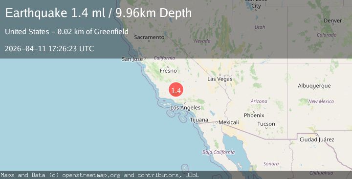
A 1.4 magnitude earthquake struck on 20 km NW of Grapevine, CA, at Sat, 11 Apr 2026 17:26:23 GMT. Depth: 9.96000003814697km. Reviewed by USGS seismologists, this minor quake occurred at a magnitude type of ml.
Magnitude
1.4
ml
Source
USGS
Intensity
-
Agency Reports
1 Sources| Source | Magnitude | Depth | Time |
|---|---|---|---|
| USGSPrimary | 1.4 | 10 km | 1 day ago |
Earthquake Details
AutomaticEvent IDusgs_ci41438464
QualityS
Tsunami PotentialNo
Magnitude Typeml
Last Update1 day ago
Used Stations18
Felt Reports0
Did you feel this earthquake? Report it to help others.
No reports yet
Be the first to report this earthquake!
Latest Earthquakes
Loading...
Nearby Earthquakes
2.1Mag
Central California
Time16 hours ago
Depth0.00 km
SourceVYT (Automatic)
2.2Mag
Southern California
Time16 hours ago
Depth5.00 km
SourceVYT (Automatic)
1.3Mag
9 km NNE of Santa Paula, CA
Time20 hours ago
Depth2.27 km
SourceUSGS (Automatic)
2.4Mag
Central California
Time1 day ago
Depth0.00 km
SourceVYT (Automatic)
3.5Mag
Central California
Time2 days ago
Depth0.00 km
SourceVYT (Automatic)