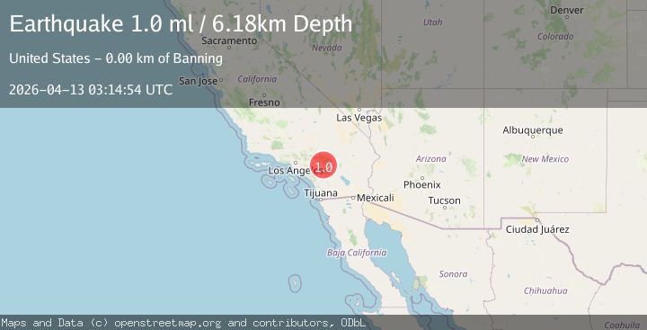
Earthquake 2 km NNW of Banning, CA
Mon, 13 Apr 2026 03:14:54 GMT
Time15 hours ago
Location
33.9443, -116.8840
Depth
6.2 KM
Event Summary
A 1.0 magnitude earthquake struck on 2 km NNW of Banning, CA, at Mon, 13 Apr 2026 03:14:54 GMT. Depth: 6.17999982833862km. Reviewed by USGS seismologists, this minor quake occurred at a magnitude type of ml.
Magnitude
1.0
ml
Source
USGS
Intensity
-
Agency Reports
1 Sources| Source | Magnitude | Depth | Time |
|---|---|---|---|
| USGSPrimary | 1.0 | 6 km | 15 hours ago |
Earthquake Details
AutomaticEvent IDusgs_ci41439216
QualityS
Tsunami PotentialNo
Magnitude Typeml
Last Update15 hours ago
Used Stations42
Felt Reports0
Did you feel this earthquake? Report it to help others.
No reports yet
Be the first to report this earthquake!
Latest Earthquakes
Loading...
Nearby Earthquakes
1.2Mag
9 km S of Idyllwild, CA
Time17 hours ago
Depth13.08 km
SourceUSGS (Automatic)
1.2Mag
17 km SW of Oasis, CA
Time18 hours ago
Depth9.37 km
SourceUSGS (Automatic)
2.1Mag
Southern California
Time23 hours ago
Depth18.92 km
SourceVYT (Automatic)
0.8Mag
17 km N of Indio, CA
Time1 day ago
Depth4.02 km
SourceUSGS (Automatic)
0.6Mag
10 km ENE of Borrego Springs, CA
Time1 day ago
Depth9.61 km
SourceUSGS (Automatic)