Earthquake 10 km N of Banning, CA
Tue, 14 Apr 2026 15:03:51 GMT
Time2 weeks ago
Location
34.0178, -116.8607
Depth
20.0 KM
Event Summary
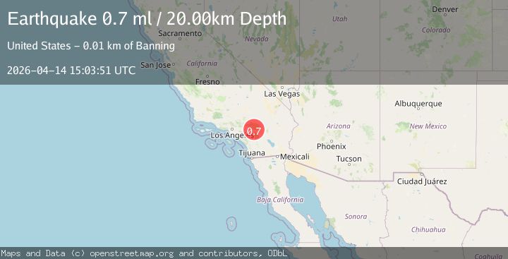
A 0.7 magnitude earthquake struck on 10 km N of Banning, CA, at Tue, 14 Apr 2026 15:03:51 GMT. Depth: 20km. Reviewed by USGS seismologists, this minor quake occurred at a magnitude type of ml.
Magnitude
0.7
ml
Source
USGS
Intensity
-
Agency Reports
1 Sources| Source | Magnitude | Depth | Time |
|---|---|---|---|
| USGSPrimary | 0.7 | 20 km | 2 weeks ago |
Earthquake Details
ConfirmedEvent IDusgs_ci41440384
QualityS
Tsunami PotentialNo
Magnitude Typeml
Last Update2 weeks ago
Used Stations22
Felt Reports0
Did you feel this earthquake? Report it to help others.
No reports yet
Be the first to report this earthquake!
Latest Earthquakes
Loading...
Nearby Earthquakes
0.1Mag
8 km N of Anza, CA
Time1 hour ago
Depth12.80 km
SourceUSGS
1.5Mag
4 km SE of Home Gardens, CA
Time1 hour ago
Depth-0.50 km
SourceUSGS
1.4Mag
4 km SW of Redlands, CA
Time3 hours ago
Depth16.74 km
SourceUSGS (Automatic)
0.6Mag
17 km SW of La Quinta, CA
Time4 hours ago
Depth9.07 km
SourceUSGS (Automatic)
1.3Mag
10 km SE of Valle Vista, CA
Time7 hours ago
Depth15.40 km
SourceUSGS (Automatic)