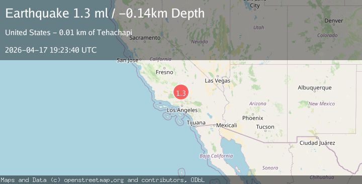
Earthquake 12 km SE of Tehachapi, CA
Fri, 17 Apr 2026 19:23:40 GMT
Time1 day ago
Location
35.0637, -118.3408
Depth
-0.1 KM
Event Summary
A 1.3 magnitude earthquake struck on 12 km SE of Tehachapi, CA, at Fri, 17 Apr 2026 19:23:40 GMT. Depth: -0.14km. Reviewed by USGS seismologists, this minor quake occurred at a magnitude type of ml.
Magnitude
1.3
ml
Source
USGS
Intensity
-
Agency Reports
1 Sources| Source | Magnitude | Depth | Time |
|---|---|---|---|
| USGSPrimary | 1.3 | -0 km | 1 day ago |
Earthquake Details
AutomaticEvent IDusgs_ci41443720
QualityS
Tsunami PotentialNo
Magnitude Typeml
Last Update1 day ago
Used Stations18
Felt Reports0
Did you feel this earthquake? Report it to help others.
No reports yet
Be the first to report this earthquake!
Latest Earthquakes
Loading...
Nearby Earthquakes
1.6Mag
5 km SE of Lake Los Angeles, CA
Time12 hours ago
Depth8.34 km
SourceUSGS (Automatic)
1.4Mag
26 km NE of Boron, CA
Time22 hours ago
Depth-0.51 km
SourceUSGS (Automatic)
2.5Mag
GREATER LOS ANGELES AREA, CALIF.
Time1 day ago
Depth18.60 km
SourceSCSN (Automatic)
1.4Mag
8 km SSW of Mojave, CA
Time1 day ago
Depth0.35 km
SourceUSGS (Automatic)
1.1Mag
12 km ENE of Ridgecrest, CA
Time2 days ago
Depth7.09 km
SourceUSGS (Automatic)