Earthquake 14 km SE of Anza, CA
Fri, 17 Apr 2026 23:00:13 GMT
Time1 week ago
Location
33.4585, -116.5692
Depth
12.0 KM
Event Summary
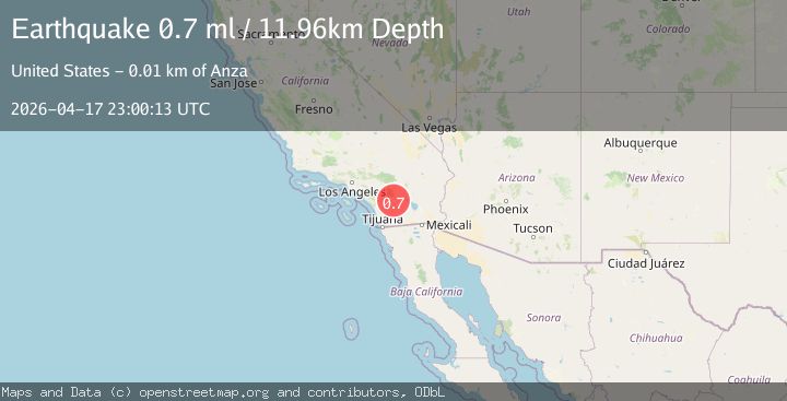
A 0.7 magnitude earthquake struck on 14 km SE of Anza, CA, at Fri, 17 Apr 2026 23:00:13 GMT. Depth: 11.96km. Reviewed by USGS seismologists, this minor quake occurred at a magnitude type of ml.
Magnitude
0.7
ml
Source
USGS
Intensity
-
Agency Reports
1 Sources| Source | Magnitude | Depth | Time |
|---|---|---|---|
| USGSPrimary | 0.7 | 12 km | 1 week ago |
Earthquake Details
ConfirmedEvent IDusgs_ci41443928
QualityS
Tsunami PotentialNo
Magnitude Typeml
Last Update1 week ago
Used Stations36
Felt Reports0
Did you feel this earthquake? Report it to help others.
No reports yet
Be the first to report this earthquake!
Latest Earthquakes
Loading...
Nearby Earthquakes
0.7Mag
9 km N of Anza, CA
Time49 minutes ago
Depth14.44 km
SourceUSGS (Automatic)
1.2Mag
2 km NE of Yucca Valley, CA
Time55 minutes ago
Depth10.37 km
SourceUSGS (Automatic)
1.1Mag
12 km SE of Anza, CA
Time1 hour ago
Depth10.52 km
SourceUSGS (Automatic)
0.4Mag
6 km WNW of Warner Springs, CA
Time2 hours ago
Depth15.41 km
SourceUSGS (Automatic)
1.2Mag
2 km SW of Borrego Springs, CA
Time3 hours ago
Depth3.85 km
SourceUSGS (Automatic)