Earthquake 6 km S of Pearblossom, CA
Sun, 19 Apr 2026 10:15:54 GMT
Time6 hours ago
Location
34.4497, -117.9183
Depth
9.3 KM
Event Summary
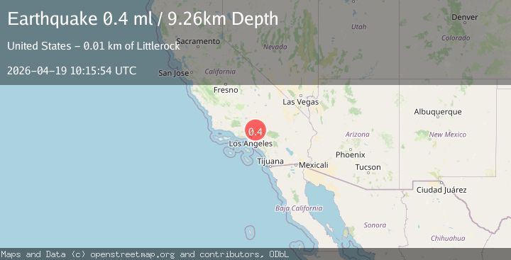
A 0.4 magnitude earthquake struck on 6 km S of Pearblossom, CA, at Sun, 19 Apr 2026 10:15:54 GMT. Depth: 9.26km. Reviewed by USGS seismologists, this minor quake occurred at a magnitude type of ml.
Magnitude
0.4
ml
Source
USGS
Intensity
-
Agency Reports
1 Sources| Source | Magnitude | Depth | Time |
|---|---|---|---|
| USGSPrimary | 0.4 | 9 km | 6 hours ago |
Earthquake Details
AutomaticEvent IDusgs_ci41444872
QualityS
Tsunami PotentialNo
Magnitude Typeml
Last Update6 hours ago
Used Stations21
Felt Reports0
Did you feel this earthquake? Report it to help others.
No reports yet
Be the first to report this earthquake!
Latest Earthquakes
Loading...
Nearby Earthquakes
1.5Mag
3 km ENE of Calimesa, CA
Time10 hours ago
Depth14.05 km
SourceUSGS (Automatic)
1.0Mag
4 km WNW of Monterey Park, CA
Time12 hours ago
Depth5.91 km
SourceUSGS (Automatic)
1.6Mag
5 km SE of Lake Los Angeles, CA
Time15 hours ago
Depth8.34 km
SourceUSGS (Automatic)
1.1Mag
5 km SSW of Redlands, CA
Time17 hours ago
Depth15.75 km
SourceUSGS (Automatic)
1.1Mag
1 km E of Mira Loma, CA
Time18 hours ago
Depth25.33 km
SourceUSGS (Automatic)