Earthquake 12 km NW of Imperial, CA
Sun, 10 May 2026 01:08:17 GMT
Time16 hours ago
Location
32.9173, -115.6620
Depth
14.2 KM
Event Summary
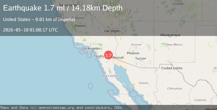
A 1.7 magnitude earthquake struck on 12 km NW of Imperial, CA, at Sun, 10 May 2026 01:08:17 GMT. Depth: 14.1800003051758km. Reviewed by USGS seismologists, this minor quake occurred at a magnitude type of ml.
Magnitude
1.7
ml
Source
USGS
Intensity
-
Agency Reports
1 Sources| Source | Magnitude | Depth | Time |
|---|---|---|---|
| USGSPrimary | 1.7 | 14 km | 16 hours ago |
Earthquake Details
AutomaticEvent IDusgs_ci41460032
QualityS
Tsunami PotentialNo
Magnitude Typeml
Last Update16 hours ago
Used Stations17
Felt Reports0
Did you feel this earthquake? Report it to help others.
No reports yet
Be the first to report this earthquake!
Latest Earthquakes
Loading...
Nearby Earthquakes
1.5Mag
11 km NW of Imperial, CA
Time16 hours ago
Depth14.52 km
SourceUSGS (Automatic)
1.6Mag
2 km SW of Brawley, CA
Time16 hours ago
Depth5.69 km
SourceUSGS (Automatic)
2.5Mag
California-Baja California border region
Time16 hours ago
Depth17.09 km
SourceVYT (Automatic)
1.8Mag
3 km SW of Brawley, CA
Time16 hours ago
Depth7.97 km
SourceUSGS (Automatic)
1.1Mag
3 km SSW of Brawley, CA
Time16 hours ago
Depth5.90 km
SourceUSGS (Automatic)