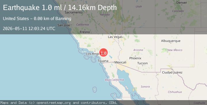
Earthquake 4 km SW of Banning, CA
Mon, 11 May 2026 12:03:24 GMT
Time1 week ago
Location
33.9005, -116.9092
Depth
14.2 KM
Event Summary
A 1.0 magnitude earthquake struck on 4 km SW of Banning, CA, at Mon, 11 May 2026 12:03:24 GMT. Depth: 14.1599998474121km. Reviewed by USGS seismologists, this minor quake occurred at a magnitude type of ml.
Magnitude
1.0
ml
Source
USGS
Intensity
-
Agency Reports
1 Sources| Source | Magnitude | Depth | Time |
|---|---|---|---|
| USGSPrimary | 1.0 | 14 km | 1 week ago |
Earthquake Details
AutomaticEvent IDusgs_ci41463888
QualityS
Tsunami PotentialNo
Magnitude Typeml
Last Update1 week ago
Used Stations43
Felt Reports0
Did you feel this earthquake? Report it to help others.
No reports yet
Be the first to report this earthquake!
Latest Earthquakes
Loading...
Nearby Earthquakes
1.2Mag
4 km NNE of Fontana, CA
Time23 hours ago
Depth6.40 km
SourceUSGS (Automatic)
1.9Mag
9 km NNE of Beaumont, CA
Time23 hours ago
Depth16.58 km
SourceUSGS (Automatic)
1.2Mag
3 km SE of Lake Henshaw, CA
Time23 hours ago
Depth8.52 km
SourceUSGS (Automatic)
1.2Mag
2 km NNE of Loma Linda, CA
Time1 day ago
Depth15.91 km
SourceUSGS (Automatic)
1.0Mag
12 km ENE of Borrego Springs, CA
Time1 day ago
Depth9.20 km
SourceUSGS (Automatic)