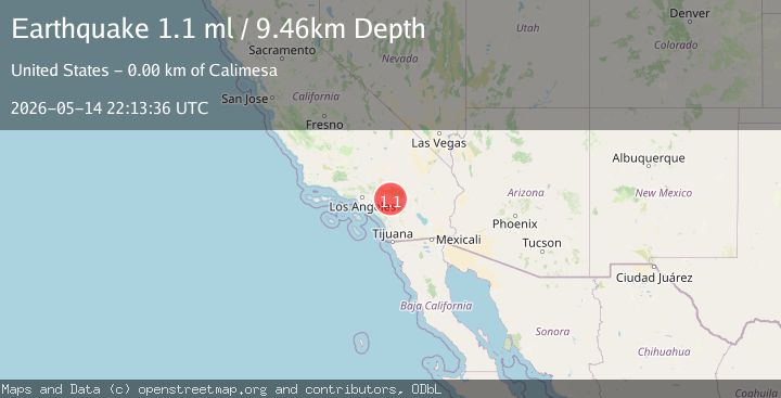
Earthquake 2 km WNW of Calimesa, CA
Thu, 14 May 2026 22:13:36 GMT
Time23 hours ago
Location
33.9918, -117.0720
Depth
9.5 KM
Event Summary
A 1.1 magnitude earthquake struck on 2 km WNW of Calimesa, CA, at Thu, 14 May 2026 22:13:36 GMT. Depth: 9.46000003814697km. Reviewed by USGS seismologists, this minor quake occurred at a magnitude type of ml.
Magnitude
1.1
ml
Source
USGS
Intensity
-
Agency Reports
1 Sources| Source | Magnitude | Depth | Time |
|---|---|---|---|
| USGSPrimary | 1.1 | 9 km | 23 hours ago |
Earthquake Details
AutomaticEvent IDusgs_ci41467552
QualityS
Tsunami PotentialNo
Magnitude Typeml
Last Update22 hours ago
Used Stations37
Felt Reports0
Did you feel this earthquake? Report it to help others.
No reports yet
Be the first to report this earthquake!
Latest Earthquakes
Loading...
Nearby Earthquakes
1.4Mag
19 km ESE of Anza, CA
Time23 hours ago
Depth12.52 km
SourceUSGS (Automatic)
0.7Mag
19 km ESE of Anza, CA
Time1 day ago
Depth12.79 km
SourceUSGS (Automatic)
0.5Mag
17 km ESE of Anza, CA
Time1 day ago
Depth13.26 km
SourceUSGS (Automatic)
0.5Mag
4 km WSW of Anza, CA
Time1 day ago
Depth5.55 km
SourceUSGS (Automatic)
0.8Mag
7 km NNW of Cabazon, CA
Time1 day ago
Depth15.32 km
SourceUSGS (Automatic)