Earthquake 14 km ESE of Pāhala, Hawaii
Sat, 27 Dec 2025 00:24:15 GMT
Time2 hours ago
Location
19.1495, -155.3528
Depth
27.2 KM
Event Summary
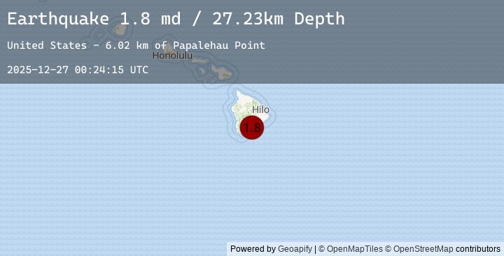
A 1.8 magnitude earthquake struck on 14 km ESE of Pāhala, Hawaii, at Sat, 27 Dec 2025 00:24:15 GMT. Depth: 27.2299995422363km. Reviewed by USGS seismologists, this minor quake occurred at a magnitude type of md.
Magnitude
1.8
md
Source
USGS
Intensity
-
Earthquake Details
AutomaticEvent IDusgs_hv74860942
Tsunami PotentialNo
Magnitude Typemd
Nearest Places
- Papalehau Point6.0 km
- Laahana6.5 km
- Kapaoo Point6.5 km
- Waiwelawela Point6.5 km
- Kū‘ē‘ē Ruins6.9 km
Comments
Join the discussion about this event.
Latest Earthquakes
2.1Mag
Minahassa Peninsula, Sulawesi
Time10 minutes ago
Depth148.44 km
SourceBMKG (Automatic)
4.6Mag
Southern Sumatra, Indonesia
Time15 minutes ago
Depth17.05 km
SourceBMKG (Automatic)
2.3Mag
Sumbawa Region, Indonesia
Time33 minutes ago
Depth13.52 km
SourceBMKG (Automatic)
2.5Mag
SAN JUAN, ARGENTINA
Time40 minutes ago
Depth103.00 km
SourceEMSC (Automatic)
3.5Mag
Banda Sea
Time46 minutes ago
Depth163.53 km
SourceBMKG (Automatic)
Nearby Earthquakes
1.7Mag
21 km SE of Pāhala, Hawaii
Time1 hour ago
Depth34.26 km
SourceUSGS (Automatic)
2.2Mag
18 km W of Volcano, Hawaii
Time3 hours ago
Depth2.78 km
SourceUSGS (Automatic)
2.2Mag
ISLAND OF HAWAII, HAWAII
Time3 hours ago
Depth2.80 km
SourceEMSC (Automatic)
1.7Mag
10 km NW of Wai‘ōhinu, Hawaii
Time3 hours ago
Depth3.01 km
SourceUSGS (Automatic)
1.9Mag
13 km S of Fern Forest, Hawaii
Time5 hours ago
Depth3.80 km
SourceUSGS (Automatic)