Earthquake 10 km NE of Pāhala, Hawaii
Sat, 27 Dec 2025 10:55:24 GMT
Time1 hour ago
Location
19.2632, -155.4057
Depth
30.4 KM
Event Summary
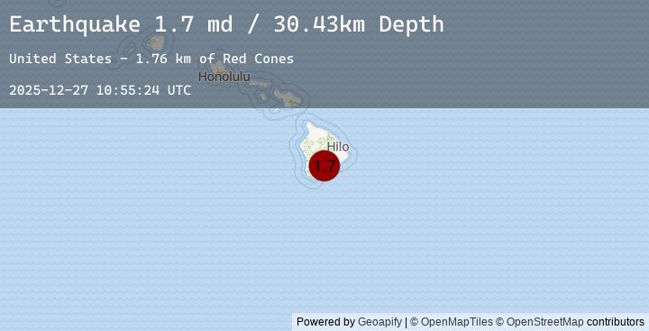
A 1.7 magnitude earthquake struck on 10 km NE of Pāhala, Hawaii, at Sat, 27 Dec 2025 10:55:24 GMT. Depth: 30.4300003051758km. Reviewed by USGS seismologists, this minor quake occurred at a magnitude type of md.
Magnitude
1.7
md
Source
USGS
Intensity
-
Earthquake Details
AutomaticEvent IDusgs_hv74861347
Tsunami PotentialNo
Magnitude Typemd
Nearest Places
- Red Cones1.8 km
- Pu‘unāhāhā2.2 km
- Yellow Cone2.5 km
- Kealaalea Hills2.7 km
- Pu‘ukou3.1 km
Comments
Join the discussion about this event.
Latest Earthquakes
0.8Mag
59 km WNW of Happy Valley, Alaska
Time18 minutes ago
Depth112.70 km
SourceUSGS (Automatic)
1.7Mag
2 km ESE of North Hollywood, CA
Time21 minutes ago
Depth15.31 km
SourceUSGS (Automatic)
2.1Mag
Northern Sumatra, Indonesia
Time25 minutes ago
Depth10.00 km
SourceBMKG (Automatic)
2.5Mag
Ceram Sea
Time27 minutes ago
Depth14.61 km
SourceBMKG (Automatic)
2.5Mag
SERAM, INDONESIA
Time27 minutes ago
Depth15.00 km
SourceEMSC (Automatic)
Nearby Earthquakes
1.8Mag
1 km SE of Pāhala, Hawaii
Time3 hours ago
Depth35.58 km
SourceUSGS (Automatic)
1.8Mag
2 km S of Pāhala, Hawaii
Time3 hours ago
Depth33.35 km
SourceUSGS (Automatic)
1.7Mag
21 km SSE of Fern Forest, Hawaii
Time7 hours ago
Depth37.78 km
SourceUSGS (Automatic)
1.7Mag
5 km SSW of Pāhala, Hawaii
Time9 hours ago
Depth32.20 km
SourceUSGS (Automatic)
1.7Mag
21 km SE of Pāhala, Hawaii
Time10 hours ago
Depth34.26 km
SourceUSGS (Automatic)