Earthquake 14 km S of Fern Forest, Hawaii
Sun, 28 Dec 2025 10:49:01 GMT
Time1 hour ago
Location
19.3360, -155.1377
Depth
4.7 KM
Event Summary
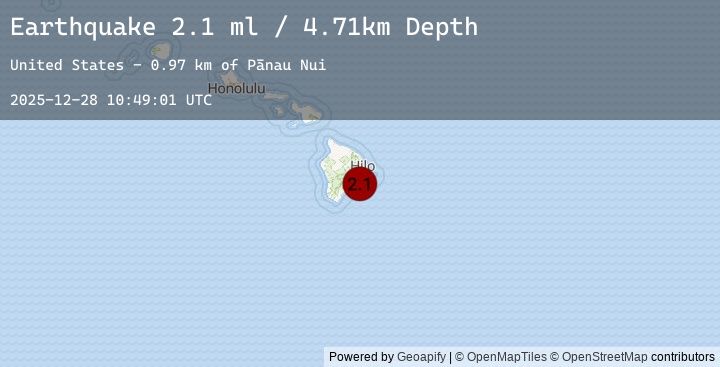
A 2.1 magnitude earthquake struck on 14 km S of Fern Forest, Hawaii, at Sun, 28 Dec 2025 10:49:01 GMT. Depth: 4.71000003814697km. Reviewed by USGS seismologists, this minor quake occurred at a magnitude type of ml.
Magnitude
2.1
ml
Source
USGS
Intensity
-
Earthquake Details
AutomaticEvent IDusgs_hv74862457
Tsunami PotentialNo
Magnitude Typeml
Nearest Places
- Pānau Nui0.8 km
- Hālona Kahakai Overlook2.7 km
- Nāulu Trail3.0 km
- Naulu Forest3.1 km
- Hōlei Pali3.4 km
Comments
Join the discussion about this event.
Latest Earthquakes
2.9Mag
South of Sumbawa, Indonesia
Time6 minutes ago
Depth21.77 km
SourceBMKG (Automatic)
2.9Mag
SOUTH OF SUMBAWA, INDONESIA
Time6 minutes ago
Depth14.00 km
SourceEMSC (Automatic)
2.9Mag
Seram, Indonesia
Time10 minutes ago
Depth9.62 km
SourceBMKG (Automatic)
2.9Mag
SERAM, INDONESIA
Time10 minutes ago
Depth10.00 km
SourceEMSC (Automatic)
0.4Mag
23 km SSW of La Quinta, CA
Time11 minutes ago
Depth12.88 km
SourceUSGS (Automatic)
Nearby Earthquakes
1.9Mag
26 km NNW of Pāhala, Hawaii
Time28 minutes ago
Depth52.47 km
SourceUSGS (Automatic)
2.1Mag
ISLAND OF HAWAII, HAWAII
Time1 hour ago
Depth4.70 km
SourceEMSC (Automatic)
2.1Mag
ISLAND OF HAWAII, HAWAII
Time3 hours ago
Depth31.10 km
SourceEMSC (Automatic)
2.1Mag
4 km S of Pāhala, Hawaii
Time3 hours ago
Depth31.13 km
SourceUSGS (Automatic)
2.4Mag
ISLAND OF HAWAII, HAWAII
Time3 hours ago
Depth29.70 km
SourceEMSC (Automatic)