Earthquake 12 km E of Naalehu, Hawaii
Mon, 29 Dec 2025 14:57:11 GMT
Time6 hours ago
Location
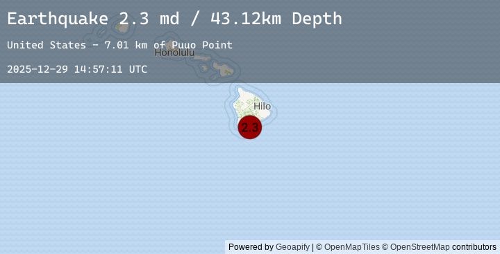
19.0748, -155.4650
Depth
43.1 KM
Event Summary
A 2.3 magnitude earthquake struck on 12 km E of Naalehu, Hawaii, at Mon, 29 Dec 2025 14:57:11 GMT. Depth: 43.1199989318848km. Reviewed by USGS seismologists, this minor quake occurred at a magnitude type of md.
Magnitude
2.3
md
Source
USGS
Intensity
-
Earthquake Details
AutomaticEvent IDusgs_hv74864122
Tsunami PotentialNo
Magnitude Typemd
Nearest Places
- Puuo Point7.0 km
- Kuhua Bay7.1 km
- Kohaahu7.2 km
- Pohakuahalulu7.4 km
- Kōloa Beach7.5 km
Comments
Join the discussion about this event.
Latest Earthquakes
3.2Mag
Near North Coast of West Papua
Time6 hours ago
Depth54.66 km
SourceBMKG (Automatic)
3.2Mag
NEAR N COAST OF PAPUA, INDONESIA
Time6 hours ago
Depth55.00 km
SourceEMSC (Automatic)
1.7Mag
6 km W of Cobb, CA
Time6 hours ago
Depth1.45 km
SourceUSGS (Automatic)
2.3Mag
Sumbawa Region, Indonesia
Time6 hours ago
Depth17.14 km
SourceBMKG (Automatic)
1.1Mag
2 km NW of The Geysers, CA
Time6 hours ago
Depth1.86 km
SourceUSGS (Automatic)
Nearby Earthquakes
2.3Mag
ISLAND OF HAWAII, HAWAII
Time6 hours ago
Depth43.10 km
SourceEMSC (Automatic)
2.4Mag
ISLAND OF HAWAII, HAWAII
Time7 hours ago
Depth31.20 km
SourceEMSC (Automatic)
2.4Mag
3 km SSW of Pāhala, Hawaii
Time7 hours ago
Depth31.18 km
SourceUSGS (Automatic)
2.0Mag
ISLAND OF HAWAII, HAWAII
Time11 hours ago
Depth6.20 km
SourceEMSC (Automatic)
2.0Mag
20 km WSW of Volcano, Hawaii
Time11 hours ago
Depth6.22 km
SourceUSGS (Automatic)