Earthquake 13 km SSE of Volcano, Hawaii
Thu, 01 Jan 2026 12:03:01 GMT
Time2 hours ago
Location
19.3257, -155.1953
Depth
2.4 KM
Event Summary
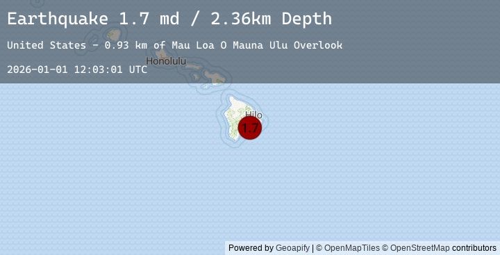
A 1.7 magnitude earthquake struck on 13 km SSE of Volcano, Hawaii, at Thu, 01 Jan 2026 12:03:01 GMT. Depth: 2.35999989509583km. Reviewed by USGS seismologists, this minor quake occurred at a magnitude type of md.
Magnitude
1.7
md
Source
USGS
Intensity
-
Earthquake Details
AutomaticEvent IDusgs_hv74866922
Tsunami PotentialNo
Magnitude Typemd
Nearest Places
- Muliwai a Pele Overlook0.5 km
- ‘Āpua1.0 km
- Poliokeawe Pali2.7 km
- Mau Loa O Mauna Ulu Overlook2.9 km
- Nāulu Trail3.1 km
Comments
Join the discussion about this event.
Latest Earthquakes
2.5Mag
WESTERN TURKEY
Time10 minutes ago
Depth3.40 km
SourceEMSC (Automatic)
3.0Mag
Timor Region
Time13 minutes ago
Depth62.37 km
SourceBMKG (Automatic)
3.0Mag
TIMOR REGION, INDONESIA
Time13 minutes ago
Depth141.00 km
SourceEMSC (Automatic)
1.4Mag
WESTERN TURKEY
Time14 minutes ago
Depth7.00 km
SourceEMSC (Automatic)
2.0Mag
Sumbawa Region, Indonesia
Time20 minutes ago
Depth7.73 km
SourceBMKG (Automatic)
Nearby Earthquakes
1.7Mag
19 km SSE of Fern Forest, Hawaii
Time3 hours ago
Depth35.79 km
SourceUSGS (Automatic)
1.9Mag
11 km NE of Pāhala, Hawaii
Time4 hours ago
Depth28.79 km
SourceUSGS (Automatic)
2.0Mag
16 km ENE of Pāhala, Hawaii
Time17 hours ago
Depth32.43 km
SourceUSGS (Automatic)
2.0Mag
ISLAND OF HAWAII, HAWAII
Time17 hours ago
Depth32.40 km
SourceEMSC (Automatic)
1.8Mag
4 km SSW of Pāhala, Hawaii
Time17 hours ago
Depth30.98 km
SourceUSGS (Automatic)