Earthquake 10 km SE of Pāhala, Hawaii
Fri, 02 Jan 2026 12:00:02 GMT
Time1 hour ago
Location
19.1282, -155.4218
Depth
31.8 KM
Event Summary
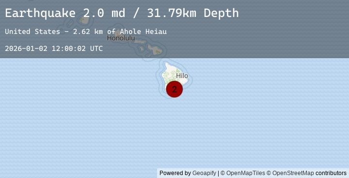
A 2.0 magnitude earthquake struck on 10 km SE of Pāhala, Hawaii, at Fri, 02 Jan 2026 12:00:02 GMT. Depth: 31.7900009155273km. Reviewed by USGS seismologists, this minor quake occurred at a magnitude type of md.
Magnitude
2.0
md
Source
USGS
Intensity
-
Agency Reports
1 Sources| Source | Magnitude | Depth | Time |
|---|---|---|---|
| USGSPrimary | 2.0 | 32 km | 1 hour ago |
Earthquake Details
AutomaticEvent IDusgs_hv74867592
Tsunami PotentialNo
Magnitude Typemd
Nearest Places
- Ahole Heiau2.6 km
- Palima Point3.7 km
- Waioala Spring3.8 km
- Pueo4.0 km
- Ulekuwale4.0 km
Comments
Join the discussion about this event.
Latest Earthquakes
2.6Mag
Sumbawa Region, Indonesia
Time2 hours ago
Depth29.02 km
SourceBMKG (Automatic)
2.3Mag
Java, Indonesia
Time2 hours ago
Depth85.21 km
SourceBMKG (Automatic)
2.1Mag
Java, Indonesia
Time2 hours ago
Depth28.43 km
SourceBMKG (Automatic)
4.2Mag
COQUIMBO, CHILE
Time2 hours ago
Depth37.10 km
SourceCSN (Automatic)
1.4Mag
CENTRAL TURKEY
Time2 hours ago
Depth11.10 km
SourceEMSC (Automatic)
Nearby Earthquakes
3.3Mag
ISLAND OF HAWAII, HAWAII
Time5 hours ago
Depth30.70 km
SourceHV (Automatic)
1.9Mag
1 km W of Pāhala, Hawaii
Time12 hours ago
Depth33.72 km
SourceUSGS (Automatic)
2.6Mag
31 km WSW of Kahaluu-Keauhou, Hawaii
Time17 hours ago
Depth11.59 km
SourceUSGS (Automatic)
2.0Mag
ISLAND OF HAWAII, HAWAII
Time19 hours ago
Depth34.50 km
SourceHV (Automatic)
2.2Mag
13 km S of Volcano, Hawaii
Time21 hours ago
Depth0.16 km
SourceUSGS (Automatic)