Earthquake 13 km ESE of Pāhala, Hawaii
Sun, 04 Jan 2026 06:55:17 GMT
Time4 days ago
Location
19.1425, -155.3712
Depth
29.5 KM
Event Summary
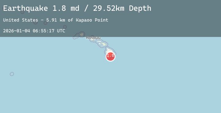
A 1.8 magnitude earthquake struck on 13 km ESE of Pāhala, Hawaii, at Sun, 04 Jan 2026 06:55:17 GMT. Depth: 29.5200004577637km. Reviewed by USGS seismologists, this minor quake occurred at a magnitude type of md.
Magnitude
1.8
md
Source
USGS
Intensity
-
Agency Reports
1 Sources| Source | Magnitude | Depth | Time |
|---|---|---|---|
| USGSPrimary | 1.8 | 30 km | 4 days ago |
Earthquake Details
AutomaticEvent IDusgs_hv74868647
Tsunami PotentialNo
Magnitude Typemd
Nearest Places
- Kapaoo Point5.9 km
- Laahana5.9 km
- Punahaha6.2 km
- Waiwelawela Point6.4 km
- Papalehau Point6.5 km
Comments
Join the discussion about this event.
Latest Earthquakes
3.1Mag
TARAPACA, CHILE
Time4 days ago
Depth104.70 km
SourceCSN (Automatic)
4.3Mag
VERACRUZ, MEXICO
Time4 days ago
Depth26.00 km
SourceUNM (Automatic)
2.2Mag
NORTHERN CALIFORNIA
Time4 days ago
Depth5.10 km
SourceNC (Automatic)
2.9Mag
OFFSHORE EL SALVADOR
Time4 days ago
Depth40.00 km
SourceINET (Automatic)
1.5Mag
EASTERN TURKEY
Time4 days ago
Depth7.00 km
SourceAFAD (Automatic)
Nearby Earthquakes
1.8Mag
13 km SSE of Volcano, Hawaii
Time4 days ago
Depth2.29 km
SourceUSGS (Automatic)
2.1Mag
ISLAND OF HAWAII, HAWAII
Time4 days ago
Depth34.80 km
SourceHV (Automatic)
2.3Mag
12 km S of Fern Forest, Hawaii
Time4 days ago
Depth3.28 km
SourceUSGS (Automatic)
1.7Mag
10 km ENE of Naalehu, Hawaii
Time5 days ago
Depth33.48 km
SourceUSGS (Automatic)
1.7Mag
54 km SE of Naalehu, Hawaii
Time5 days ago
Depth12.55 km
SourceUSGS (Automatic)