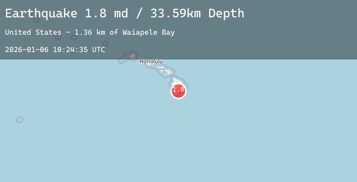
Earthquake 7 km ESE of Pāhala, Hawaii
Tue, 06 Jan 2026 10:24:35 GMT
Time3 days ago
Location
19.1680, -155.4217
Depth
33.6 KM
Event Summary
A 1.8 magnitude earthquake struck on 7 km ESE of Pāhala, Hawaii, at Tue, 06 Jan 2026 10:24:35 GMT. Depth: 33.5900001525879km. Reviewed by USGS seismologists, this minor quake occurred at a magnitude type of md.
Magnitude
1.8
md
Source
USGS
Intensity
-
Agency Reports
2 Sources| Source | Magnitude | Depth | Time |
|---|---|---|---|
| USGSPrimary | 1.7 | 34 km | 3 days ago |
| USGSPrimary | 1.8 | 40 km | 3 days ago |
Earthquake Details
AutomaticEvent IDusgs_hv74869557
Tsunami PotentialNo
Magnitude Typemd
Nearest Places
- Waiapele Bay1.4 km
- Kauhuula1.5 km
- Mahuka Bay1.9 km
- Lae Loa2.3 km
- Ulekuwale2.6 km
Comments
Join the discussion about this event.
Latest Earthquakes
1.8Mag
15 km NE of Chase, Alaska
Time3 days ago
Depth9.40 km
SourceUSGS (Automatic)
2.0Mag
Sumbawa Region, Indonesia
Time3 days ago
Depth119.47 km
SourceBMKG (Automatic)
2.4Mag
West Papua Region, Indonesia
Time3 days ago
Depth10.00 km
SourceBMKG (Automatic)
3.1Mag
SOUTHERN GREECE
Time3 days ago
Depth5.00 km
SourceNOA (Automatic)
2.1Mag
WESTERN TEXAS
Time3 days ago
Depth0.70 km
SourceTX (Automatic)
Nearby Earthquakes
1.7Mag
14 km E of Pāhala, Hawaii
Time3 days ago
Depth30.72 km
SourceUSGS (Automatic)
2.6Mag
ISLAND OF HAWAII, HAWAII
Time3 days ago
Depth12.00 km
SourceHV (Automatic)
1.8Mag
8 km SE of Pāhala, Hawaii
Time3 days ago
Depth30.19 km
SourceUSGS (Automatic)
2.0Mag
9 km ENE of Pāhala, Hawaii
Time3 days ago
Depth32.19 km
SourceUSGS (Automatic)
1.8Mag
6 km SSE of Pāhala, Hawaii
Time3 days ago
Depth30.56 km
SourceUSGS (Automatic)