Earthquake 4 km S of Pāhala, Hawaii
Wed, 07 Jan 2026 13:37:54 GMT
Time2 days ago
Location
19.1643, -155.4832
Depth
30.3 KM
Event Summary
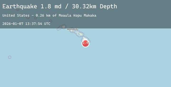
A 1.8 magnitude earthquake struck on 4 km S of Pāhala, Hawaii, at Wed, 07 Jan 2026 13:37:54 GMT. Depth: 30.3199996948242km. Reviewed by USGS seismologists, this minor quake occurred at a magnitude type of md.
Magnitude
1.8
md
Source
USGS
Intensity
-
Agency Reports
1 Sources| Source | Magnitude | Depth | Time |
|---|---|---|---|
| USGSPrimary | 1.8 | 30 km | 2 days ago |
Earthquake Details
AutomaticEvent IDusgs_hv74869957
Tsunami PotentialNo
Magnitude Typemd
Nearest Places
- Moaula Kopu Makaka0.3 km
- Moa‘ula Gulch0.4 km
- Kanenelu Flat0.6 km
- Hi‘onamoa Gulch1.2 km
- Punalu‘u Gulch1.2 km
Comments
Join the discussion about this event.
Latest Earthquakes
2.9Mag
Northern Molucca Sea
Time2 days ago
Depth27.50 km
SourceBMKG (Automatic)
2.0Mag
CENTRAL TURKEY
Time2 days ago
Depth3.50 km
SourceKOERI (Automatic)
1.5Mag
14 km SE of Mammoth Lakes, CA
Time2 days ago
Depth2.10 km
SourceUSGS (Automatic)
2.2Mag
Sumba Region, Indonesia
Time2 days ago
Depth3.19 km
SourceBMKG (Automatic)
2.7Mag
Java, Indonesia
Time2 days ago
Depth10.00 km
SourceBMKG (Automatic)
Nearby Earthquakes
1.9Mag
3 km SW of Pāhala, Hawaii
Time2 days ago
Depth32.82 km
SourceUSGS (Automatic)
2.3Mag
ISLAND OF HAWAII, HAWAII
Time2 days ago
Depth29.90 km
SourceHV (Automatic)
2.5Mag
ISLAND OF HAWAII, HAWAII
Time2 days ago
Depth28.90 km
SourceHV (Automatic)
1.8Mag
15 km SE of Waimea, Hawaii
Time2 days ago
Depth25.59 km
SourceUSGS (Automatic)
1.7Mag
20 km SSE of Pāhala, Hawaii
Time2 days ago
Depth37.10 km
SourceUSGS (Automatic)