Earthquake 20 km SSW of Leilani Estates, Hawaii
Mon, 12 Jan 2026 04:37:18 GMT
Time2 hours ago
Location
19.2882, -154.9605
Depth
34.8 KM
Event Summary
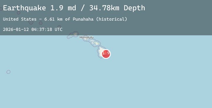
A 1.9 magnitude earthquake struck on 20 km SSW of Leilani Estates, Hawaii, at Mon, 12 Jan 2026 04:37:18 GMT. Depth: 34.7799987792969km. Reviewed by USGS seismologists, this minor quake occurred at a magnitude type of md.
Magnitude
1.9
md
Source
USGS
Intensity
-
Agency Reports
1 Sources| Source | Magnitude | Depth | Time |
|---|---|---|---|
| USGSPrimary | 1.9 | 35 km | 2 hours ago |
Earthquake Details
AutomaticEvent IDusgs_hv74872807
Tsunami PotentialNo
Magnitude Typemd
Nearest Places
- Punahaha (historical)6.6 km
- Ki‘i (historical)6.8 km
- Hakuma Point (historical)6.9 km
- Kalapana Beach (historical)7.3 km
- Waikupanaha Pond (historical)7.3 km
Comments
Join the discussion about this event.
Latest Earthquakes
3.1Mag
CENTRAL CALIFORNIA
Time3 minutes ago
Depth14.90 km
SourceSCSN (Automatic)
2.6Mag
Flores Region, Indonesia
Time16 minutes ago
Depth165.06 km
SourceBMKG (Automatic)
2.7Mag
PUERTO RICO
Time32 minutes ago
Depth20.10 km
SourcePR (Automatic)
4.2Mag
FRANCE
Time37 minutes ago
Depth9.30 km
SourceINGV (Automatic)
1.0Mag
5 km SSW of Gilroy, CA
Time38 minutes ago
Depth3.93 km
SourceUSGS (Automatic)
Nearby Earthquakes
1.8Mag
3 km W of Pāhala, Hawaii
Time3 hours ago
Depth30.97 km
SourceUSGS (Automatic)
1.8Mag
13 km ESE of Naalehu, Hawaii
Time6 hours ago
Depth40.12 km
SourceUSGS (Automatic)
2.0Mag
7 km SSW of Pāhala, Hawaii
Time8 hours ago
Depth31.16 km
SourceUSGS (Automatic)
2.5Mag
ISLAND OF HAWAII, HAWAII
Time15 hours ago
Depth35.80 km
SourceHV (Automatic)
2.1Mag
3 km SW of Pāhala, Hawaii
Time19 hours ago
Depth30.33 km
SourceUSGS (Automatic)