Earthquake 5 km NNE of Pāhala, Hawaii
Tue, 13 Jan 2026 09:32:37 GMT
Time1 day ago
Location
19.2492, -155.4605
Depth
44.8 KM
Event Summary
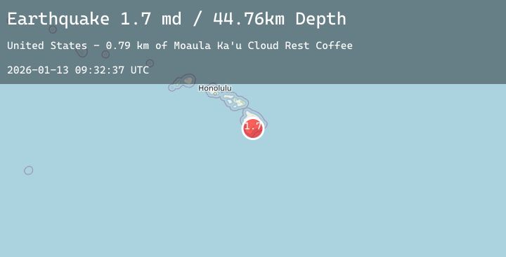
A 1.7 magnitude earthquake struck on 5 km NNE of Pāhala, Hawaii, at Tue, 13 Jan 2026 09:32:37 GMT. Depth: 44.7599983215332km. Reviewed by USGS seismologists, this minor quake occurred at a magnitude type of md.
Magnitude
1.7
md
Source
USGS
Intensity
-
Agency Reports
2 Sources| Source | Magnitude | Depth | Time |
|---|---|---|---|
| USGSPrimary | 1.7 | 45 km | 1 day ago |
| USGSPrimary | 1.7 | 4 km | 1 day ago |
Earthquake Details
AutomaticEvent IDusgs_hv74873542
Tsunami PotentialNo
Magnitude Typemd
Nearest Places
- Peleli‘ili‘i Gulch1.0 km
- Makakupu Gulch1.3 km
- Ka'u Coffee Mill1.7 km
- Waimuku1.7 km
- Pu‘ukoa1.7 km
Comments
Join the discussion about this event.
Latest Earthquakes
2.1Mag
FRANCE
Time1 day ago
Depth5.00 km
SourceReNaSS (Automatic)
2.4Mag
Sumbawa Region, Indonesia
Time1 day ago
Depth29.86 km
SourceBMKG (Automatic)
1.9Mag
6 km SW of Volcano, Hawaii
Time1 day ago
Depth1.55 km
SourceUSGS (Automatic)
2.4Mag
FRANCE
Time1 day ago
Depth5.00 km
SourceReNaSS (Automatic)
2.2Mag
FRANCE
Time1 day ago
Depth5.00 km
SourceReNaSS (Automatic)
Nearby Earthquakes
1.9Mag
6 km SW of Volcano, Hawaii
Time1 day ago
Depth1.55 km
SourceUSGS (Automatic)
1.8Mag
38 km SE of Waikoloa, Hawaii
Time2 days ago
Depth36.81 km
SourceUSGS (Automatic)
1.7Mag
32 km SSE of Naalehu, Hawaii
Time2 days ago
Depth15.80 km
SourceUSGS (Automatic)
1.7Mag
11 km SSE of Pāhala, Hawaii
Time2 days ago
Depth27.44 km
SourceUSGS (Automatic)
2.7Mag
ISLAND OF HAWAII, HAWAII
Time2 days ago
Depth7.90 km
SourceHV (Automatic)