Earthquake 4 km ESE of Pāhala, Hawaii
Thu, 12 Feb 2026 13:29:09 GMT
Time2 weeks ago
Location
19.1863, -155.4348
Depth
34.4 KM
Event Summary
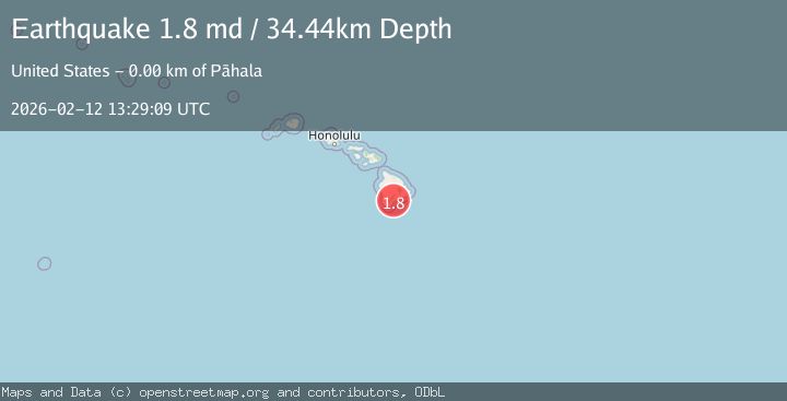
A 1.8 magnitude earthquake struck on 4 km ESE of Pāhala, Hawaii, at Thu, 12 Feb 2026 13:29:09 GMT. Depth: 34.439998626709km. Reviewed by USGS seismologists, this minor quake occurred at a magnitude type of md.
Magnitude
1.8
md
Source
USGS
Intensity
-
Agency Reports
1 Sources| Source | Magnitude | Depth | Time |
|---|---|---|---|
| USGSPrimary | 1.8 | 34 km | 2 weeks ago |
Earthquake Details
AutomaticEvent IDusgs_hv74898087
Tsunami PotentialNo
Magnitude Typemd
Nearest Places
- 0.3 km
- 0.7 km
- 1.3 km
- 1.8 km
- 1.9 km
Comments
Join the discussion about this event.
Latest Earthquakes
2.2Mag
Southeastern Alaska
Time3 minutes ago
Depth0.00 km
SourceVYT (Automatic)
3.2Mag
Kepulauan Sula, Indonesia
Time7 minutes ago
Depth0.00 km
SourceVYT (Automatic)
2.2Mag
Sumba region, Indonesia
Time8 minutes ago
Depth0.00 km
SourceVYT (Automatic)
2.9Mag
Azerbaijan
Time9 minutes ago
Depth3.91 km
SourceVYT (Automatic)
2.6Mag
Antofagasta, Chile
Time10 minutes ago
Depth121.09 km
SourceVYT (Automatic)
Nearby Earthquakes
3.0Mag
ISLAND OF HAWAII, HAWAII
Time3 years ago
Depth42.00 km
SourceNEIC (Automatic)
4.0Mag
ISLAND OF HAWAII, HAWAII
Time7 years ago
Depth6.00 km
SourceNEIC (Automatic)
3.0Mag
ISLAND OF HAWAII, HAWAII
Time3 weeks ago
Depth-0.20 km
SourceHV (Automatic)
3.0Mag
ISLAND OF HAWAII, HAWAII
Time3 years ago
Depth39.00 km
SourceNEIC (Automatic)
2.5Mag
ISLAND OF HAWAII, HAWAII
Time1 month ago
Depth8.00 km
SourceHV (Automatic)