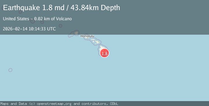
Earthquake 24 km E of Pāhala, Hawaii
Sat, 14 Feb 2026 10:14:33 GMT
Time1 week ago
Location
19.2193, -155.2468
Depth
43.8 KM
Event Summary
A 1.8 magnitude earthquake struck on 24 km E of Pāhala, Hawaii, at Sat, 14 Feb 2026 10:14:33 GMT. Depth: 43.8400001525879km. Reviewed by USGS seismologists, this minor quake occurred at a magnitude type of md.
Magnitude
1.8
md
Source
USGS
Intensity
-
Agency Reports
1 Sources| Source | Magnitude | Depth | Time |
|---|---|---|---|
| USGSPrimary | 1.8 | 44 km | 1 week ago |
Earthquake Details
AutomaticEvent IDusgs_hv74899232
Tsunami PotentialNo
Magnitude Typemd
Nearest Places
- 5.1 km
- 5.4 km
- 5.5 km
- 5.7 km
- 6.0 km
Comments
Join the discussion about this event.
Latest Earthquakes
1.8Mag
7 km SSE of Palermo, CA
Time8 hours ago
Depth5.25 km
SourceUSGS (Automatic)
2.3Mag
Finland
Time8 hours ago
Depth0.00 km
SourceVYT (Automatic)
2.1Mag
Sumbawa region, Indonesia
Time9 hours ago
Depth78.13 km
SourceVYT (Automatic)
3.3Mag
South of Sumbawa, Indonesia
Time9 hours ago
Depth10.00 km
SourceBMKG
2.5Mag
Sumbawa region, Indonesia
Time9 hours ago
Depth25.02 km
SourceVYT (Automatic)
Nearby Earthquakes
2.3Mag
ISLAND OF HAWAII, HAWAII
Time1 month ago
Depth44.10 km
SourceNEIC (Automatic)
1.9Mag
25 km E of Pāhala, Hawaii
Time1 week ago
Depth40.12 km
SourceUSGS (Automatic)
1.7Mag
22 km E of Pāhala, Hawaii
Time1 month ago
Depth42.17 km
SourceUSGS (Automatic)
1.9Mag
20 km E of Pāhala, Hawaii
Time1 week ago
Depth42.52 km
SourceUSGS (Automatic)
3.0Mag
ISLAND OF HAWAII, HAWAII
Time7 years ago
Depth0.00 km
SourceNEIC (Automatic)