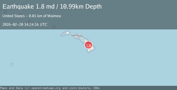
Earthquake 8 km WNW of Waimea, Hawaii
Fri, 20 Feb 2026 14:24:16 GMT
Time1 hour ago
Location
20.0492, -155.7465
Depth
11.0 KM
Event Summary
A 1.8 magnitude earthquake struck on 8 km WNW of Waimea, Hawaii, at Fri, 20 Feb 2026 14:24:16 GMT. Depth: 10.9899997711182km. Reviewed by USGS seismologists, this minor quake occurred at a magnitude type of md.
Magnitude
1.8
md
Source
USGS
Intensity
-
Agency Reports
1 Sources| Source | Magnitude | Depth | Time |
|---|---|---|---|
| USGSPrimary | 1.8 | 11 km | 1 hour ago |
Earthquake Details
AutomaticEvent IDusgs_hv74903896
Tsunami PotentialNo
Magnitude Typemd
Nearest Places
- Puukawaiwai1.1 km
- KWYI-FM (Kawaihae)1.4 km
- Puu Kawaiwai1.4 km
- Panoluukia1.5 km
- Kapia2.1 km
Comments
Join the discussion about this event.
Latest Earthquakes
1.8Mag
Southeastern Alaska
Time1 hour ago
Depth0.00 km
SourceVYT (Automatic)
2.6Mag
northern Alaska
Time1 hour ago
Depth206.30 km
SourceVYT (Automatic)
3.4Mag
OFF W. COAST OF S. ISLAND, N.Z.
Time1 hour ago
Depth5.00 km
SourceGNS (Automatic)
2.1Mag
NEAR THE COAST OF WESTERN TURKEY
Time1 hour ago
Depth6.40 km
SourceKOERI (Automatic)
5.0Mag
HOKKAIDO, JAPAN REGION
Time1 hour ago
Depth60.00 km
SourceEMSC (Automatic)
Nearby Earthquakes
1.8Mag
11 km NW of Waimea, Hawaii
Time2 weeks ago
Depth14.38 km
SourceUSGS (Automatic)
1.8Mag
6 km NE of Puako, Hawaii
Time1 week ago
Depth14.72 km
SourceUSGS (Automatic)
3.0Mag
HAWAII REGION, HAWAII
Time2 years ago
Depth36.50 km
SourceNEIC (Automatic)
2.4Mag
ISLAND OF HAWAII, HAWAII
Time2 months ago
Depth26.80 km
SourceNEIC (Automatic)
3.0Mag
HAWAII REGION, HAWAII
Time4 months ago
Depth35.00 km
SourceNEIC (Automatic)