Earthquake 20 km SSE of Pāhala, Hawaii
Fri, 27 Feb 2026 11:44:17 GMT
Time1 hour ago
Location
19.0387, -155.3820
Depth
31.9 KM
Event Summary
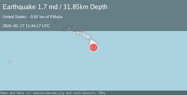
A 1.7 magnitude earthquake struck on 20 km SSE of Pāhala, Hawaii, at Fri, 27 Feb 2026 11:44:17 GMT. Depth: 31.8500003814697km. Reviewed by USGS seismologists, this minor quake occurred at a magnitude type of md.
Magnitude
1.7
md
Source
USGS
Intensity
-
Agency Reports
1 Sources| Source | Magnitude | Depth | Time |
|---|---|---|---|
| USGSPrimary | 1.7 | 32 km | 1 hour ago |
Earthquake Details
AutomaticEvent IDusgs_hv74910131
Tsunami PotentialNo
Magnitude Typemd
Nearest Places
- 13.0 km
- 14.3 km
- 14.3 km
- 14.5 km
- 14.7 km
Comments
Join the discussion about this event.
Latest Earthquakes
4.9Mag
Azerbaijan
Time1 hour ago
Depth10.00 km
SourceVYT (Automatic)
1.6Mag
14 km W of Johannesburg, CA
Time1 hour ago
Depth4.04 km
SourceUSGS (Automatic)
2.0Mag
Dead Sea region
Time1 hour ago
Depth8.67 km
SourceVYT (Automatic)
2.3Mag
FRANCE
Time1 hour ago
Depth5.00 km
SourceReNaSS (Automatic)
3.2Mag
Sulawesi, Indonesia
Time1 hour ago
Depth25.76 km
SourceVYT (Automatic)
Nearby Earthquakes
1.7Mag
21 km SSE of Pāhala, Hawaii
Time3 days ago
Depth30.72 km
SourceUSGS (Automatic)
2.2Mag
20 km SSE of Pāhala, Hawaii
Time1 month ago
Depth34.30 km
SourceUSGS (Automatic)
2.6Mag
ISLAND OF HAWAII, HAWAII
Time1 day ago
Depth33.00 km
SourceHV (Automatic)
2.1Mag
ISLAND OF HAWAII, HAWAII
Time2 days ago
Depth31.80 km
SourceHV (Automatic)
2.1Mag
ISLAND OF HAWAII, HAWAII
Time1 month ago
Depth34.80 km
SourceHV (Automatic)