Earthquake 12 km NNW of Pāhala, Hawaii
Wed, 04 Mar 2026 13:44:46 GMT
Time1 hour ago
Location
19.3160, -155.5075
Depth
3.0 KM
Event Summary
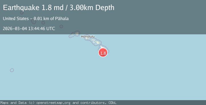
A 1.8 magnitude earthquake struck on 12 km NNW of Pāhala, Hawaii, at Wed, 04 Mar 2026 13:44:46 GMT. Depth: 3km. Reviewed by USGS seismologists, this minor quake occurred at a magnitude type of md.
Magnitude
1.8
md
Source
USGS
Intensity
-
Agency Reports
1 Sources| Source | Magnitude | Depth | Time |
|---|---|---|---|
| USGSPrimary | 1.8 | 3 km | 1 hour ago |
Earthquake Details
AutomaticEvent IDusgs_hv74912811
Tsunami PotentialNo
Magnitude Typemd
Nearest Places
- 2.0 km
- 4.0 km
- 4.5 km
- 4.7 km
- 5.0 km
Comments
Join the discussion about this event.
Latest Earthquakes
2.7Mag
Flores Sea
Time1 hour ago
Depth114.14 km
SourceVYT (Automatic)
1.4Mag
Southeastern Alaska
Time1 hour ago
Depth8.91 km
SourceVYT (Automatic)
2.4Mag
Java, Indonesia
Time1 hour ago
Depth0.00 km
SourceVYT (Automatic)
2.9Mag
Sumbawa region, Indonesia
Time2 hours ago
Depth14.77 km
SourceVYT (Automatic)
4.6Mag
Rat Islands, Aleutian Islands, Alaska
Time2 hours ago
Depth10.00 km
SourceVYT (Automatic)
Nearby Earthquakes
2.0Mag
ISLAND OF HAWAII, HAWAII
Time1 month ago
Depth1.70 km
SourceHV (Automatic)
1.9Mag
10 km NNW of Pāhala, Hawaii
Time2 weeks ago
Depth0.01 km
SourceUSGS (Automatic)
2.5Mag
ISLAND OF HAWAII, HAWAII
Time1 month ago
Depth3.50 km
SourceHV (Automatic)
5.0Mag
ISLAND OF HAWAII, HAWAII
Time3 years ago
Depth20.00 km
SourceEMSC (Automatic)
2.0Mag
ISLAND OF HAWAII, HAWAII
Time3 weeks ago
Depth4.90 km
SourceHV (Automatic)