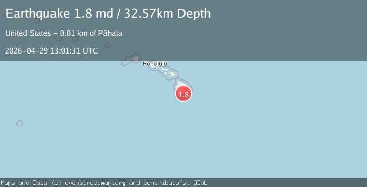
Earthquake 13 km E of Pāhala, Hawaii
Wed, 29 Apr 2026 13:01:31 GMT
Time23 hours ago
Location
19.1877, -155.3513
Depth
32.6 KM
Event Summary
A 1.8 magnitude earthquake struck on 13 km E of Pāhala, Hawaii, at Wed, 29 Apr 2026 13:01:31 GMT. Depth: 32.5699996948242km. Reviewed by USGS seismologists, this minor quake occurred at a magnitude type of md.
Magnitude
1.8
md
Source
USGS
Intensity
-
Agency Reports
1 Sources| Source | Magnitude | Depth | Time |
|---|---|---|---|
| USGSPrimary | 1.8 | 33 km | 23 hours ago |
Earthquake Details
AutomaticEvent IDusgs_hv74947882
QualityS
Tsunami PotentialNo
Magnitude Typemd
Last Update23 hours ago
Used Stations22
Felt Reports0
Did you feel this earthquake? Report it to help others.
No reports yet
Be the first to report this earthquake!
Latest Earthquakes
Loading...
Nearby Earthquakes
1.8Mag
6 km SW of Volcano, Hawaii
Time1 day ago
Depth0.85 km
SourceUSGS (Automatic)
2.4Mag
ISLAND OF HAWAII, HAWAII
Time1 day ago
Depth5.20 km
SourceHV (Automatic)
2.1Mag
6 km SSE of Pāhala, Hawaii
Time1 day ago
Depth30.46 km
SourceUSGS (Automatic)
1.5Mag
6 km SW of Volcano, Hawaii
Time1 day ago
Depth0.65 km
SourceUSGS
1.8Mag
16 km S of Volcano, Hawaii
Time1 day ago
Depth24.38 km
SourceUSGS (Automatic)