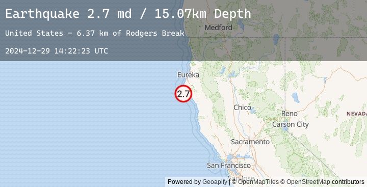
Earthquake 18 km SW of Petrolia, CA
Sun, 29 Dec 2024 14:22:23 GMT
Time
11 months ago
Location
40.1805, -124.3757
Depth
15.1 KM
Event Summary
A 2.7 magnitude earthquake struck on 18 km SW of Petrolia, CA, at Sun, 29 Dec 2024 14:22:23 GMT. Depth: 15.0699996948242km. Reviewed by USGS seismologists, this minor quake occurred at a magnitude type of md.
Magnitude
2.7
md
Source
USGS
Intensity
-
Earthquake Details
AutomaticEvent IDusgs_nc75109311
Tsunami PotentialNo
Magnitude Typemd
Nearest Places
- Rodgers Break6.4 km
- Cooskie Creek7.0 km
- Reynolds Rock7.3 km
- Willow Creek7.6 km
- Gorda Rock7.7 km
Comments
Join the discussion about this event.
Latest Earthquakes
2.8Mag
Java, Indonesia
Time
25 minutes ago
Depth11.39 km
SourceBMKG (Automatic)
2.9Mag
Java, Indonesia
Time
26 minutes ago
Depth18.75 km
SourceBMKG (Automatic)
2.2Mag
WESTERN TURKEY
Time
33 minutes ago
Depth7.00 km
SourceEMSC (Automatic)
3.3Mag
LOMBOK REGION, INDONESIA
Time
39 minutes ago
Depth26.00 km
SourceEMSC (Automatic)
3.4Mag
Sumbawa Region, Indonesia
Time
39 minutes ago
Depth10.00 km
SourceBMKG (Automatic)