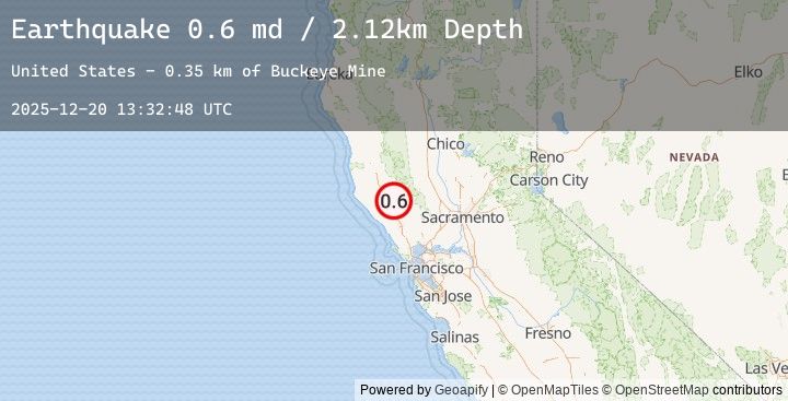
Earthquake 12 km WNW of The Geysers, CA
Sat, 20 Dec 2025 13:32:48 GMT
Time6 hours ago
Location
38.8388, -122.8753
Depth
2.1 KM
Event Summary
A 0.6 magnitude earthquake struck on 12 km WNW of The Geysers, CA, at Sat, 20 Dec 2025 13:32:48 GMT. Depth: 2.11999988555908km. Reviewed by USGS seismologists, this minor quake occurred at a magnitude type of md.
Magnitude
0.6
md
Source
USGS
Intensity
-
Earthquake Details
AutomaticEvent IDusgs_nc75283391
Tsunami PotentialNo
Magnitude Typemd
Nearest Places
- Alder Creek0.8 km
- Hummingbird Creek1.5 km
- Squaw Creek1.6 km
- Kissack Ranch1.8 km
- Cloverdale Mine Headquarters1.9 km
Comments
Join the discussion about this event.
Latest Earthquakes
1.0Mag
3 km SW of Anderson Springs, CA
Time3 hours ago
Depth1.65 km
SourceUSGS (Automatic)
3.6Mag
West Papua Region, Indonesia
Time3 hours ago
Depth21.23 km
SourceBMKG (Automatic)
3.6Mag
PAPUA, INDONESIA
Time3 hours ago
Depth23.00 km
SourceEMSC (Automatic)
2.8Mag
West Papua, Indonesia
Time3 hours ago
Depth23.40 km
SourceBMKG (Automatic)
2.8Mag
PAPUA, INDONESIA
Time3 hours ago
Depth23.00 km
SourceEMSC (Automatic)
Nearby Earthquakes
1.0Mag
3 km SW of Anderson Springs, CA
Time3 hours ago
Depth1.65 km
SourceUSGS (Automatic)
0.8Mag
3 km NNW of The Geysers, CA
Time3 hours ago
Depth3.65 km
SourceUSGS (Automatic)
1.1Mag
2 km E of The Geysers, CA
Time4 hours ago
Depth1.67 km
SourceUSGS (Automatic)
0.8Mag
6 km NW of The Geysers, CA
Time6 hours ago
Depth3.31 km
SourceUSGS (Automatic)
0.9Mag
6 km WNW of The Geysers, CA
Time8 hours ago
Depth3.10 km
SourceUSGS (Automatic)