Earthquake 33 km WSW of Petrolia, CA
Wed, 31 Dec 2025 22:39:16 GMT
Time3 hours ago
Location
40.2222, -124.6450
Depth
-0.3 KM
Event Summary
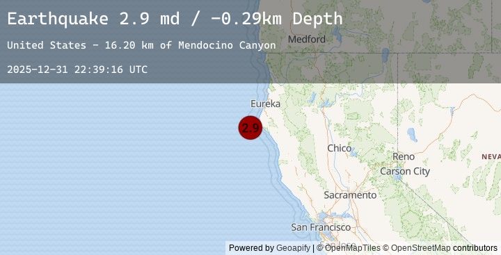
A 2.9 magnitude earthquake struck on 33 km WSW of Petrolia, CA, at Wed, 31 Dec 2025 22:39:16 GMT. Depth: -0.28999999165535km. Reviewed by USGS seismologists, this minor quake occurred at a magnitude type of md.
Magnitude
2.9
md
Source
USGS
Intensity
-
Earthquake Details
AutomaticEvent IDusgs_nc75289376
Tsunami PotentialNo
Magnitude Typemd
Nearest Places
- Mendocino Canyon16.2 km
- Mattole Canyon17.9 km
- Mendocino Canyon23.1 km
- Christmas Rock23.6 km
- Gorda Rock23.7 km
Comments
Join the discussion about this event.
Latest Earthquakes
0.6Mag
2 km E of The Geysers, CA
Time3 hours ago
Depth1.99 km
SourceUSGS (Automatic)
1.1Mag
5 km WNW of The Geysers, CA
Time3 hours ago
Depth3.26 km
SourceUSGS (Automatic)
2.5Mag
Off West Coast of Northern Sumatra
Time3 hours ago
Depth62.72 km
SourceBMKG (Automatic)
1.5Mag
20 km NW of Stanton, Texas
Time3 hours ago
Depth3.97 km
SourceUSGS (Automatic)
2.8Mag
South of Sumbawa, Indonesia
Time3 hours ago
Depth10.00 km
SourceBMKG (Automatic)
Nearby Earthquakes
No significant earthquakes nearby recently.