Earthquake 17 km NE of Tres Pinos, CA
Thu, 01 Jan 2026 07:09:52 GMT
Time1 hour ago
Location
36.9007, -121.1902
Depth
36.9 KM
Event Summary
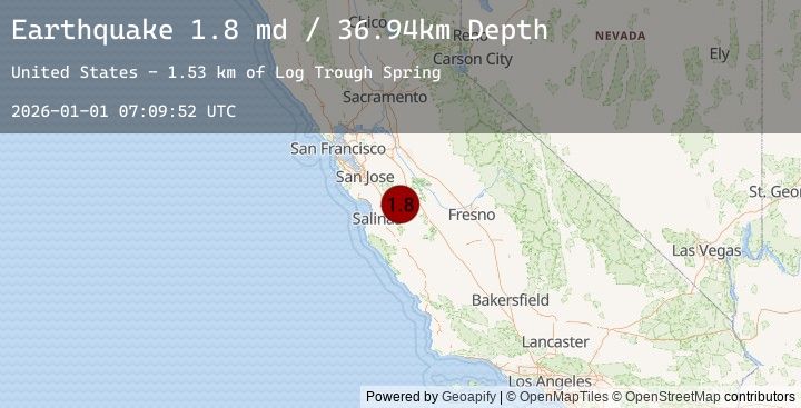
A 1.8 magnitude earthquake struck on 17 km NE of Tres Pinos, CA, at Thu, 01 Jan 2026 07:09:52 GMT. Depth: 36.939998626709km. Reviewed by USGS seismologists, this minor quake occurred at a magnitude type of md.
Magnitude
1.8
md
Source
USGS
Intensity
-
Earthquake Details
AutomaticEvent IDusgs_nc75289586
Tsunami PotentialNo
Magnitude Typemd
Nearest Places
- Log Trough Spring1.5 km
- Laveaga Peak1.6 km
- Buck Pass2.8 km
- Stayton Mine3.2 km
- Peckham Ridge3.3 km
Comments
Join the discussion about this event.
Latest Earthquakes
3.4Mag
ICELAND
Time8 minutes ago
Depth1.10 km
SourceEMSC (Automatic)
2.9Mag
WESTERN TURKEY
Time11 minutes ago
Depth8.40 km
SourceEMSC (Automatic)
2.0Mag
OLYMPIC PENINSULA, WASHINGTON
Time17 minutes ago
Depth37.40 km
SourceEMSC (Automatic)
2.0Mag
16 km WNW of Skokomish, Washington
Time17 minutes ago
Depth37.38 km
SourceUSGS (Automatic)
2.9Mag
PUERTO RICO REGION
Time29 minutes ago
Depth35.00 km
SourceEMSC (Automatic)
Nearby Earthquakes
No significant earthquakes nearby recently.